
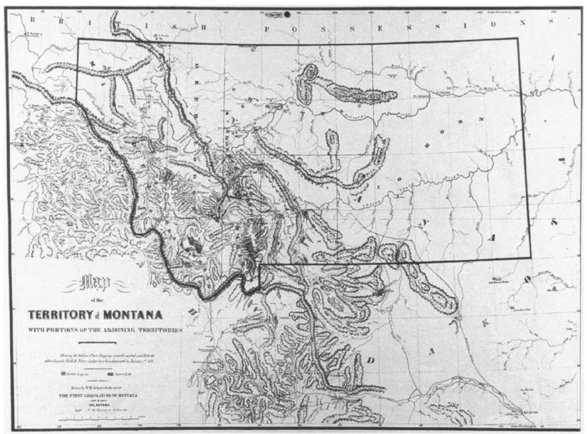
Image: DeLacy Map Montana Territory 1865
Size of this preview: 800 × 591 pixels. Other resolutions: 320 × 237 pixels | 824 × 609 pixels.
Original image (824 × 609 pixels, file size: 119 KB, MIME type: image/jpeg)
Description: 1865 Map of Montana Territory, Walter W. de Lacy
Title: DeLacy Map Montana Territory 1865
Credit: http://static.squarespace.com/static/50631261e4b0e9530e2c53a7/t/530a543ce4b00fa2f726dab6/1393185855767/montana-territory-map-1865.jpg
Author: Walter W. de Lacy, 1865
Usage Terms: Public domain
License: Public domain
Attribution Required?: No
Image usage
The following page links to this image:

All content from Kiddle encyclopedia articles (including the article images and facts) can be freely used under Attribution-ShareAlike license, unless stated otherwise.