
Image: Deep South Map

Size of this preview: 800 × 520 pixels. Other resolutions: 320 × 208 pixels | 2,000 × 1,301 pixels.
Original image (2,000 × 1,301 pixels, file size: 105 KB, MIME type: image/png)
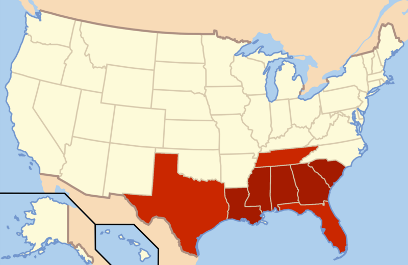
Description: This is an edited map for the geographical region of the Deep South in the USA. This map includes Tennessee, as West Tennessee is historically considered part of the Deep South, just as north Florida and regions of Texas.
Title: Deep South Map
Credit: Own work
Author: WorldlyVoice
Usage Terms: Creative Commons Attribution-Share Alike 4.0
License: CC BY-SA 4.0
License Link: https://creativecommons.org/licenses/by-sa/4.0
Attribution Required?: Yes
Image usage
The following page links to this image:

All content from Kiddle encyclopedia articles (including the article images and facts) can be freely used under Attribution-ShareAlike license, unless stated otherwise.