
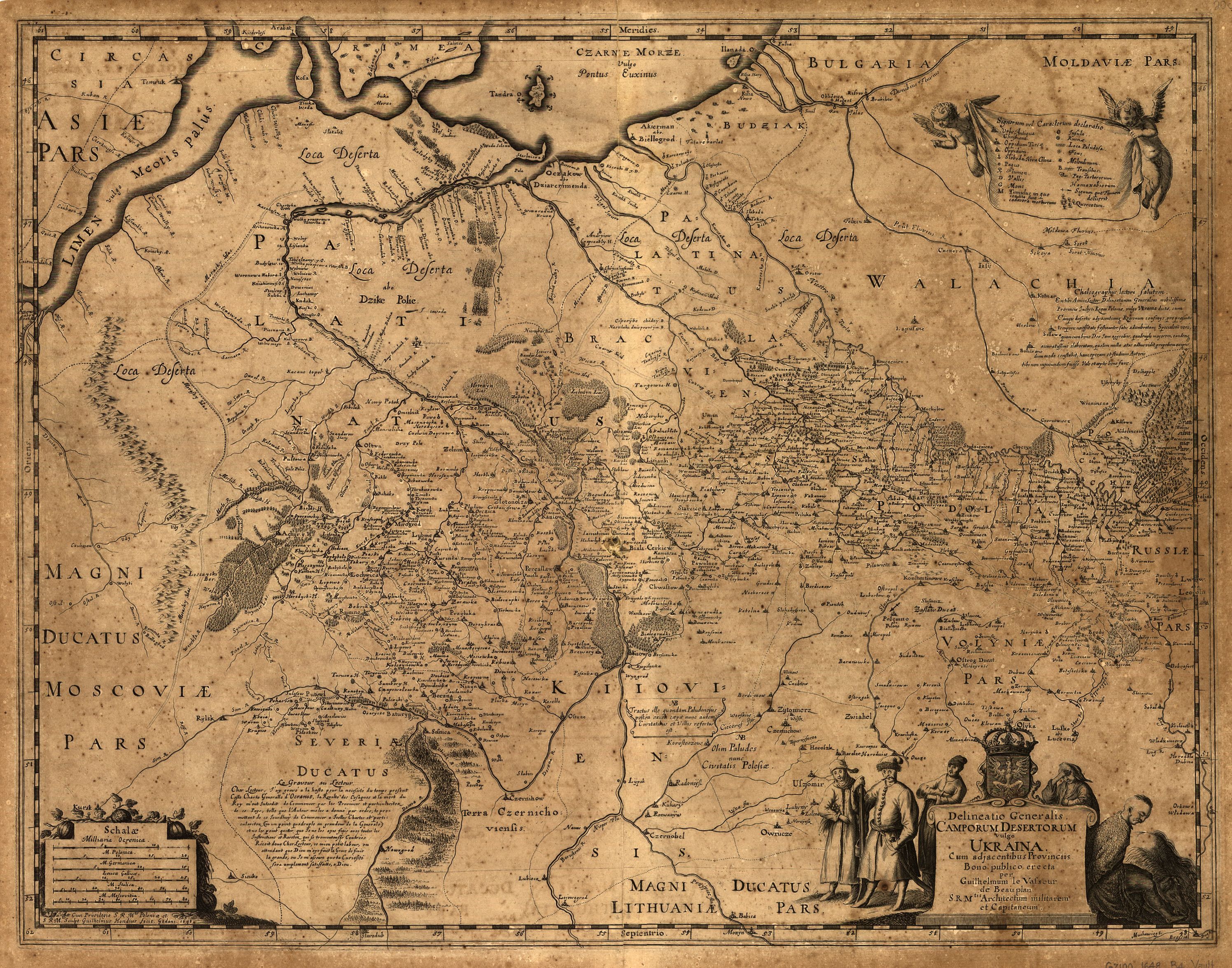
Image: Delineatio generalis Camporum Desertorum vulgo Ukraina (1648)
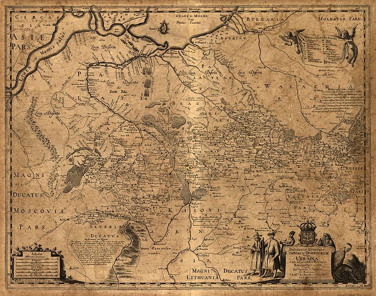
Size of this preview: 763 × 600 pixels. Other resolutions: 305 × 240 pixels | 2,992 × 2,352 pixels.
Original image (2,992 × 2,352 pixels, file size: 1.94 MB, MIME type: image/jpeg)
Description: A 1648 map of Ukraine created by Guillaume le Vasseur de Beauplan and published by Villem Gondius.
Title: Delineatio generalis Camporum Desertorum vulgo Ukraina (1648)
Credit: http://byloe.blogspot.com/2011/04/blog-post_24.html
Author: Guillaume Le Vasseur de Beauplan
Usage Terms: Public domain
License: Public domain
Attribution Required?: No
Image usage
The following page links to this image:

All content from Kiddle encyclopedia articles (including the article images and facts) can be freely used under Attribution-ShareAlike license, unless stated otherwise.
.jpg)