
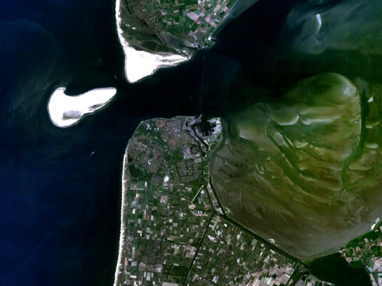
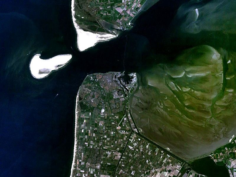
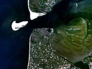
Image: Den Helder 4.77628E 52.95026N
Size of this preview: 800 × 599 pixels. Other resolutions: 320 × 240 pixels | 1,280 × 958 pixels.
Original image (1,280 × 958 pixels, file size: 119 KB, MIME type: image/jpeg)
Description: Satellite image of Den Helder, the southern tip of Texel island, Noorderhaaks sand bank (on the left of the image) and the Marsdiep
Title: Den Helder 4.77628E 52.95026N
Credit: Screenshot from NASA World Wind
Author: NASA
Usage Terms: Public domain
License: Public domain
Attribution Required?: No
Image usage
The following 2 pages link to this image:

All content from Kiddle encyclopedia articles (including the article images and facts) can be freely used under Attribution-ShareAlike license, unless stated otherwise.