
Image: Detail Beers Map 1879 - Upper Appomattox Canal Turning Basin

Size of this preview: 800 × 485 pixels. Other resolutions: 320 × 194 pixels | 975 × 591 pixels.
Original image (975 × 591 pixels, file size: 157 KB, MIME type: image/jpeg)
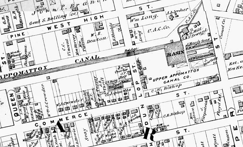
Description: Upper Appomattox Canal and turning basin with mills downstream.
Title: Detail Beers Map 1879 - Upper Appomattox Canal Turning Basin
Credit: http://urbanscalepetersburgvirginia.blogspot.com/2014/08/battersea-growth-of-petersburg.html?m=1
Author: Beers
Usage Terms: Public domain
License: Public domain
Attribution Required?: No
Image usage
The following page links to this image:

All content from Kiddle encyclopedia articles (including the article images and facts) can be freely used under Attribution-ShareAlike license, unless stated otherwise.