
Image: Dolichotis salinicola distribution map

Size of this preview: 488 × 600 pixels. Other resolutions: 195 × 240 pixels | 1,217 × 1,496 pixels.
Original image (1,217 × 1,496 pixels, file size: 1.29 MB, MIME type: image/png)
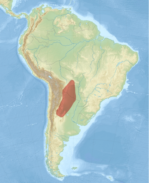
Description: Distribution map of the Chacoan mara
Title: Dolichotis salinicola distribution map
Credit: Own work using: https://www.iucnredlist.org/species/6786/22190451 South America laea relief location map.jpg by Uwe Dedering South America laea location map.svg by Uwe Dedering
Author: NordNordWest Range data: Bernal, N. 2016. Dolichotis salinicola. The IUCN Red List of Threatened Species 2016: e.T6786A22190451.
Usage Terms: Creative Commons Attribution-Share Alike 3.0 de
License: CC BY-SA 3.0 de
License Link: https://creativecommons.org/licenses/by-sa/3.0/de/deed.en
Attribution Required?: Yes
Image usage
The following page links to this image:

All content from Kiddle encyclopedia articles (including the article images and facts) can be freely used under Attribution-ShareAlike license, unless stated otherwise.