
Image: Donegal, "Stones, Peat And Rushes At Gweedore" - geograph.org.uk - 1140411
No higher resolution available.
Donegal,_"Stones,_Peat_And_Rushes_At_Gweedore"_-_geograph.org.uk_-_1140411.jpg (640 × 480 pixels, file size: 81 KB, MIME type: image/jpeg)
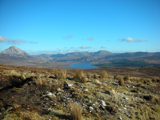
Description: Donegal: "Stones, Peat And Rushes At Gweedore" Photo taken from road to Cronalaght mountain wind farm at Gweedore. Lough Nacung Upper and Dunlewy lough in the distance. On the horizon, snow tipped Slieve Snaght, the Poisoned Glen with Errigal mountain to the left. Map Ref. B85650 23200 Elevation 150 metres (492 feet)
Title: Donegal, "Stones, Peat And Rushes At Gweedore" - geograph.org.uk - 1140411
Credit: From geograph.org.uk
Author: Michael Murtagh
Usage Terms: Creative Commons Attribution-Share Alike 2.0
License: CC BY-SA 2.0
License Link: https://creativecommons.org/licenses/by-sa/2.0
Attribution Required?: Yes
Image usage
The following page links to this image:

All content from Kiddle encyclopedia articles (including the article images and facts) can be freely used under Attribution-ShareAlike license, unless stated otherwise.