
Image: Dunbar Pawnee mission site (Nance County, Nebraska) (1)
Size of this preview: 800 × 435 pixels. Other resolutions: 320 × 174 pixels | 2,560 × 1,393 pixels.
Original image (2,560 × 1,393 pixels, file size: 1.55 MB, MIME type: image/jpeg)
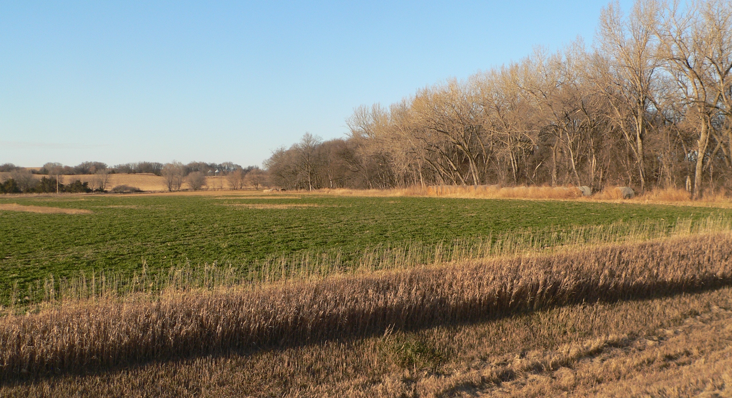
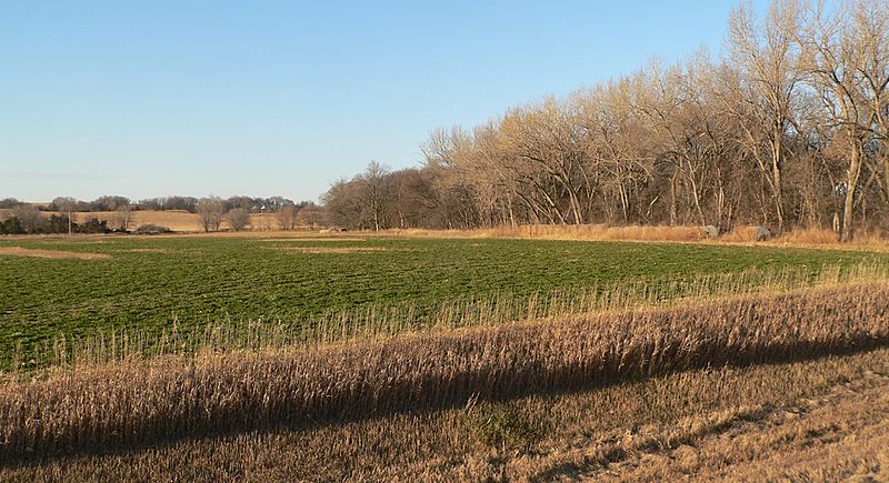
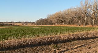
Description: Vicinity of John Dunbar Pawnee mission site in Nance County, Nebraska. Camera is facing generally northward from Nebraska Highway 22 just west of Council Creek (formerly known as Plum Creek) crossing; the trees right of center are along the creek.
Title: Dunbar Pawnee mission site (Nance County, Nebraska) (1)
Credit: Own work
Author: Ammodramus
Usage Terms: Creative Commons Zero, Public Domain Dedication
License: CC0
License Link: http://creativecommons.org/publicdomain/zero/1.0/deed.en
Attribution Required?: No
Image usage
The following 2 pages link to this image:

All content from Kiddle encyclopedia articles (including the article images and facts) can be freely used under Attribution-ShareAlike license, unless stated otherwise.
_(1).JPG)