
Image: Earnest Will map
Size of this preview: 748 × 600 pixels. Other resolutions: 300 × 240 pixels | 887 × 711 pixels.
Original image (887 × 711 pixels, file size: 31 KB, MIME type: image/png)
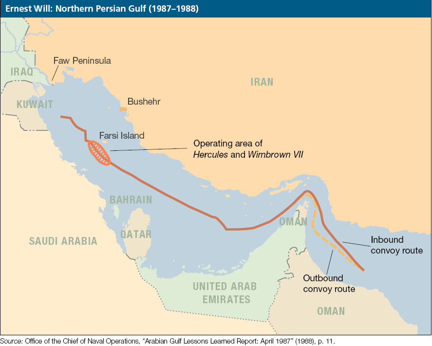
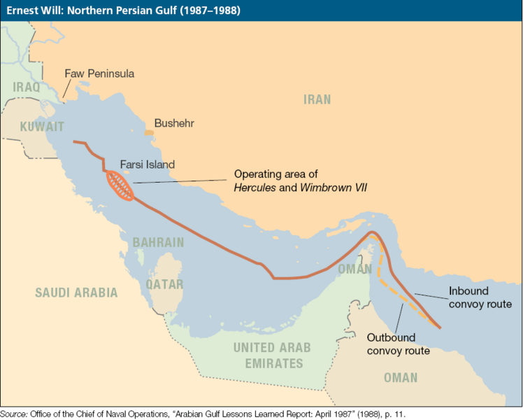
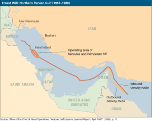
Description: Map shows routes of in- and outbound convoys under protection of warships of the US Navy while the tanker war (dubbed Operation Earnest Will)
Title: Earnest Will map
Credit: http://www.dtic.mil/doctrine/jel/jfq_pubs/0629.pdf - There contributed to Office of Chief of Naval Operations, "Persian Gulf lessons learend Report: April 1987 (1988), p. 11.
Usage Terms: Public domain
License: Public domain
Attribution Required?: No
Image usage
The following page links to this image:

All content from Kiddle encyclopedia articles (including the article images and facts) can be freely used under Attribution-ShareAlike license, unless stated otherwise.