
Image: Ebrington Hill - geograph.org.uk - 406596
No higher resolution available.
Ebrington_Hill_-_geograph.org.uk_-_406596.jpg (640 × 453 pixels, file size: 82 KB, MIME type: image/jpeg)
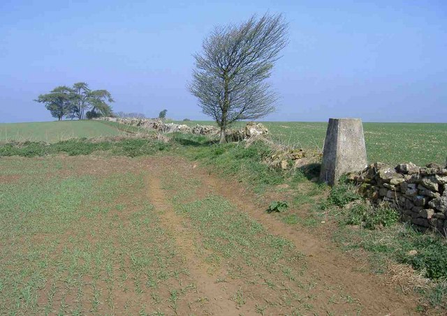
Description: Ebrington Hill This trig point, on the Warwickshire/Gloucestershire border, is 259 metres above sea level. Warwickshire's highest point (261 metres), is either beneath the clump of trees, on the horizon, or close to the nearby communications station.
Title: Ebrington Hill - geograph.org.uk - 406596
Credit: From geograph.org.uk
Author: Roger Cornfoot
Usage Terms: Creative Commons Attribution-Share Alike 2.0
License: CC BY-SA 2.0
License Link: https://creativecommons.org/licenses/by-sa/2.0
Attribution Required?: Yes
Image usage
The following page links to this image:

All content from Kiddle encyclopedia articles (including the article images and facts) can be freely used under Attribution-ShareAlike license, unless stated otherwise.