
Image: Emory-place-knoxville-1886-tn1
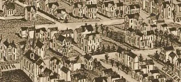
Description: Detail of an 1886 map of Knoxville, Tennessee, showing Emory Place and adjacent roads. Emory Place is the wide road running horizontally across the top half of the image. "Crozier" is now Central Street. Most of these building are no longer standing.
Title: Emory-place-knoxville-1886-tn1
Credit: This map is available from the United States Library of Congress's Geography & Map Division under the digital ID g3964k.pm009000. This tag does not indicate the copyright status of the attached work. A normal copyright tag is still required. See Commons:Licensing for more information.
Author: H. Wellge (drawing); Beck & Pauli (lithograph)
Usage Terms: Public domain
License: Public domain
Attribution Required?: No
Image usage
The following page links to this image:
