
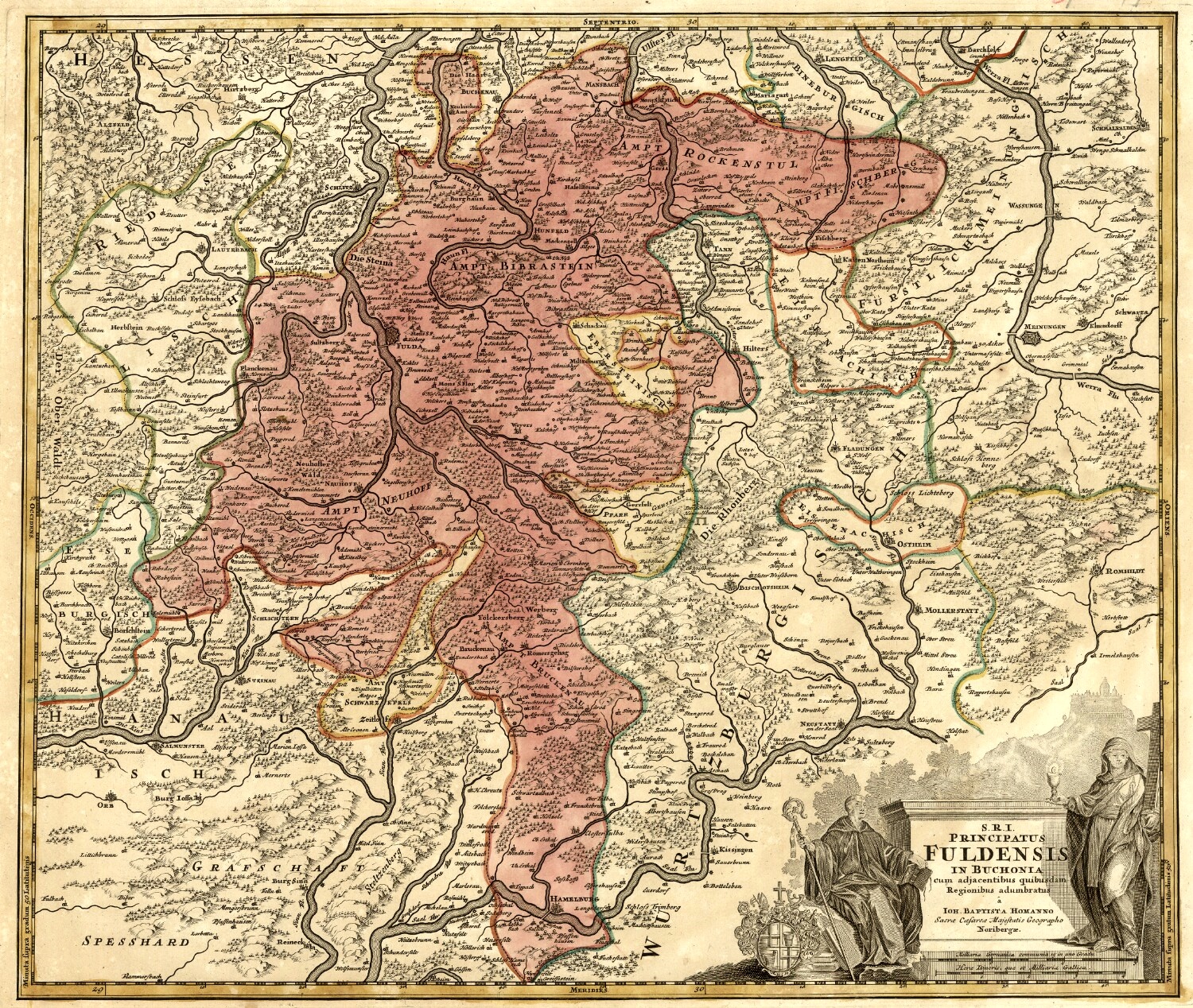
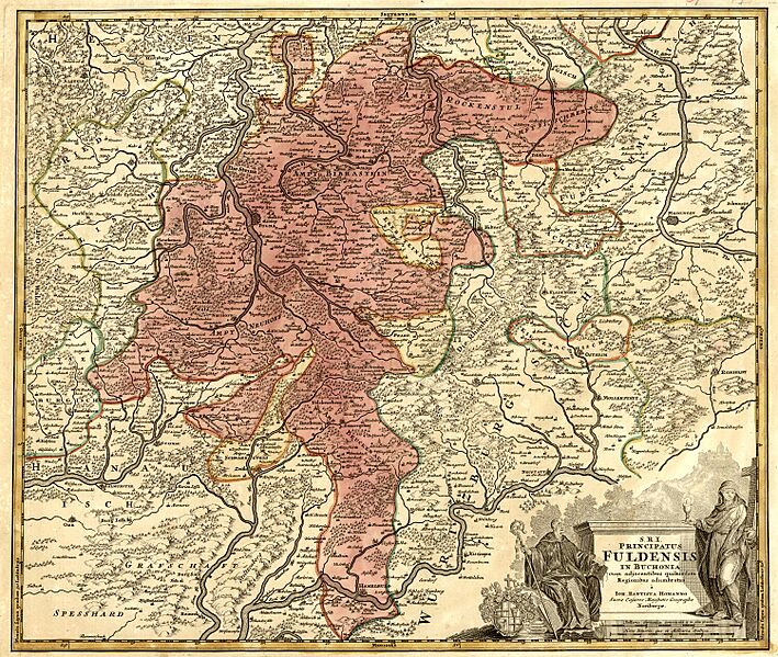
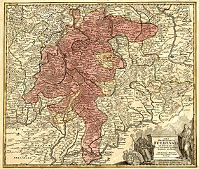
Image: Fürstabtei Fulda territorium. JB Homann (1716-1724)
Size of this preview: 709 × 599 pixels. Other resolutions: 284 × 240 pixels | 1,500 × 1,268 pixels.
Original image (1,500 × 1,268 pixels, file size: 1.42 MB, MIME type: image/jpeg)
Description: Early 18th century map showing the vast territorial domain of the Princely Abbey of Fulda. Due to its size and population, Fulda was elevated to the status of a prince-bishopric in 1752. Map published by Johann Baptist Homann between 1716 and 1726.
Title: Fürstabtei Fulda territorium. JB Homann (1716-1724)
Credit: eBay.com
Author: J. B. Homann
Usage Terms: Public domain
License: Public domain
Attribution Required?: No
Image usage
The following page links to this image:

All content from Kiddle encyclopedia articles (including the article images and facts) can be freely used under Attribution-ShareAlike license, unless stated otherwise.
.jpg)