
Image: Fazendeville Louisiana Map 1951
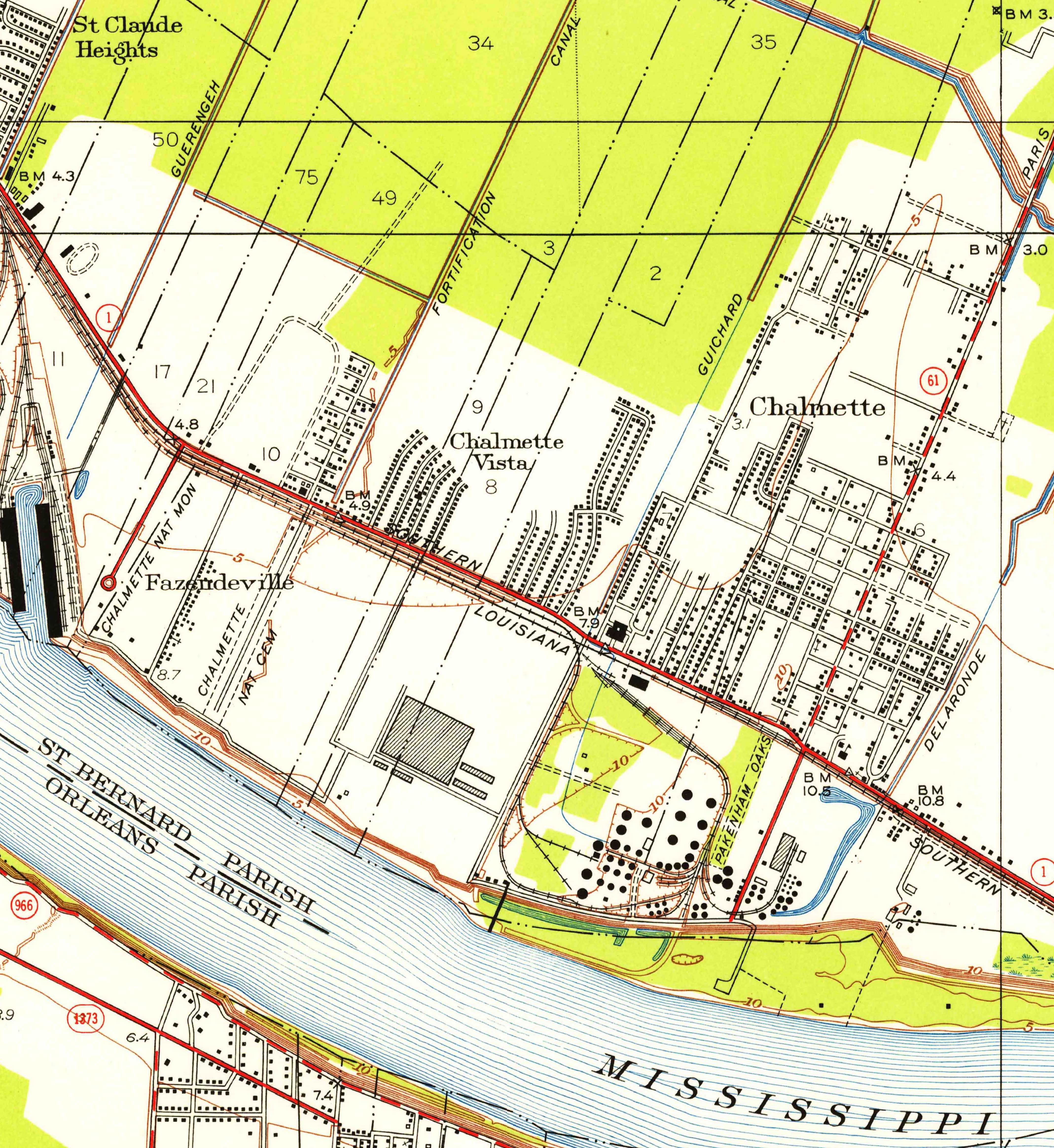
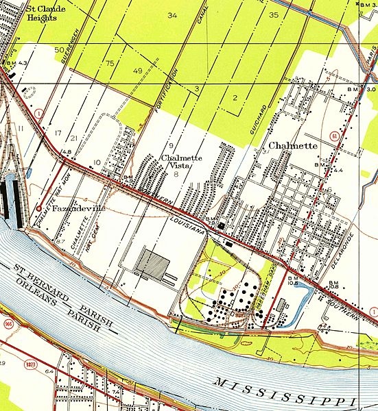
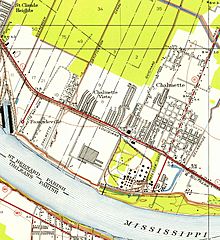
Description: Portion of 1951 United States Geological Survey map of Chalmette area, showing the since destroyed town of Fazendeville and its relationship to the Battle of New Orleans site and town of Chalmette.
Title: Fazendeville Louisiana Map 1951
Credit: Via USGS website [1]; converted from PDF to jpg, cropped to show Fazendeville area, before uploading to Wikimedia Commons
Author: US Geological Survey
Permission: This image is in the public domain in the United States because it only contains materials that originally came from the United States Geological Survey, an agency of the United States Department of the Interior. For more information, see the official USGS copyright policy. Български | Català | Čeština | Deutsch | English | Español | Eesti | فارسی | Suomi | Français | Galego | Italiano | 日本語 | 한국어 | Македонски | മലയാളം | Nederlands | Polski | Português | Русский | Sicilianu | Türkçe | 中文 | 中文(简体) | +/−
Usage Terms: Public domain
License: Public domain
Attribution Required?: No
Image usage
The following page links to this image:
