
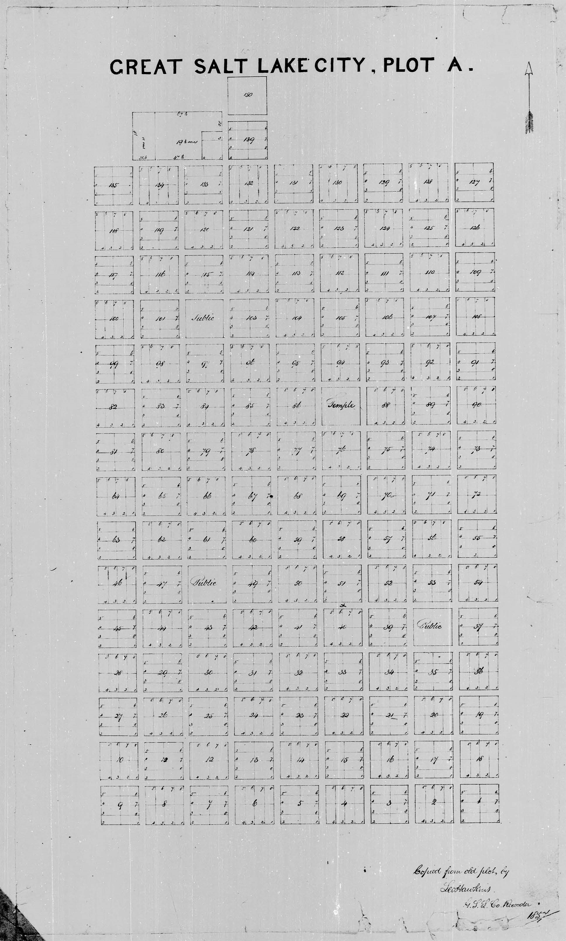
Image: First Salt Lake City Plat Map, Great Salt Lake City Plot A, 1857
Size of this preview: 360 × 599 pixels. Other resolutions: 144 × 240 pixels | 1,936 × 3,219 pixels.
Original image (1,936 × 3,219 pixels, file size: 786 KB, MIME type: image/jpeg)
Description: First plat map, created in 1857, showing the original boundaries and neighborhoods of Salt Lake City on plat map "A".
Usage Terms: Public domain
Image usage
The following page links to this image:

All content from Kiddle encyclopedia articles (including the article images and facts) can be freely used under Attribution-ShareAlike license, unless stated otherwise.