
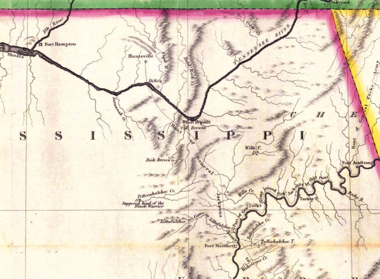
Image: Fort Hampton map
Size of this preview: 800 × 589 pixels. Other resolutions: 320 × 235 pixels | 1,295 × 953 pixels.
Original image (1,295 × 953 pixels, file size: 209 KB, MIME type: image/jpeg)
Description: 1814 map of Mississippi Territory with forts and Creek towns created for the War Department by John Melish.
Title: Fort Hampton map
Credit: https://searchworks.stanford.edu/view/10451385
Author: John Melish
Usage Terms: Public domain
License: Public domain
Attribution Required?: No
Image usage
The following page links to this image:

All content from Kiddle encyclopedia articles (including the article images and facts) can be freely used under Attribution-ShareAlike license, unless stated otherwise.