
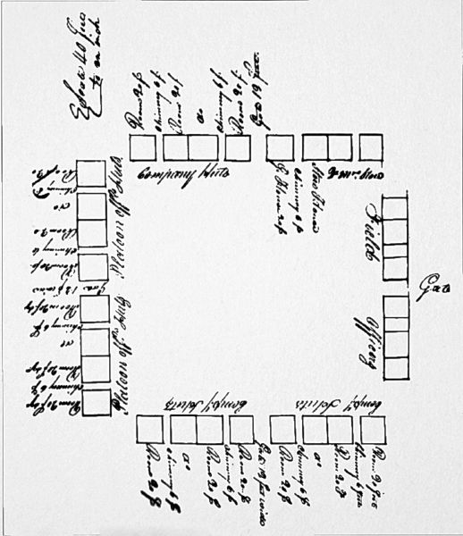
Image: Fort Hampton plan

Size of this preview: 518 × 600 pixels. Other resolutions: 207 × 240 pixels | 708 × 820 pixels.
Original image (708 × 820 pixels, file size: 345 KB, MIME type: image/jpeg)
Description: US Army Engineers hand-drawn plan of Fort Hampton, located in present Limestone County, Alabama.
Title: Fort Hampton plan
Credit: Antique Athens and Limestone County, Alabama: A Photographic Journey, 1809-1949
Author: United States Army Engineers
Usage Terms: Public domain
License: Public domain
Attribution Required?: No
Image usage
The following page links to this image:

All content from Kiddle encyclopedia articles (including the article images and facts) can be freely used under Attribution-ShareAlike license, unless stated otherwise.