
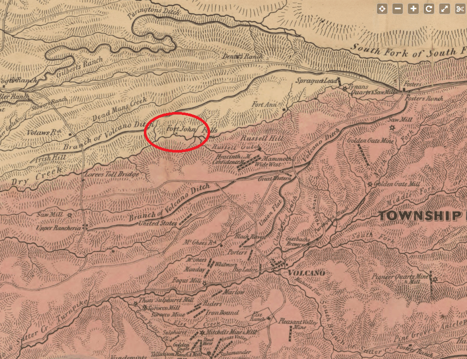
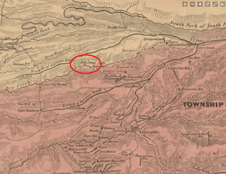
Image: Fort John Amador County 1866 map
Size of this preview: 780 × 600 pixels. Other resolutions: 312 × 240 pixels | 909 × 699 pixels.
Original image (909 × 699 pixels, file size: 544 KB, MIME type: image/png)
Description: Excerpt of 1866 official map of Amador County California highlighting Fort John. https://www.loc.gov/resource/g4363a.la000012/?r=0.366,0.271,0.17,0.081,0
Title: Fort John Amador County 1866 map
Author: Britton & Co,
Usage Terms: Public domain
License: Public domain
Attribution Required?: No
Image usage
The following page links to this image:

All content from Kiddle encyclopedia articles (including the article images and facts) can be freely used under Attribution-ShareAlike license, unless stated otherwise.