
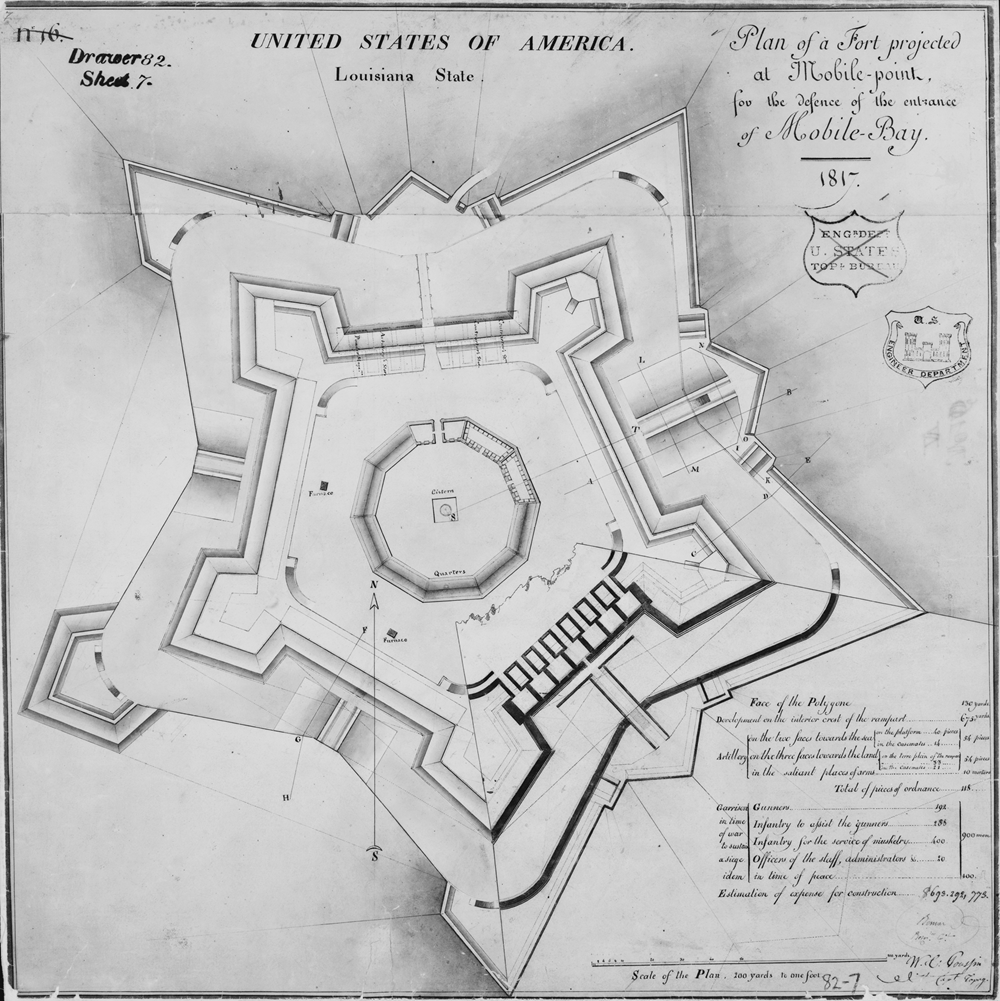
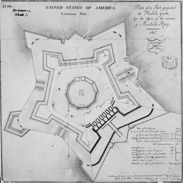
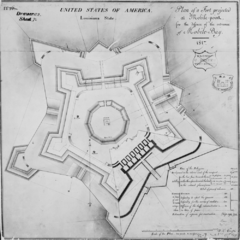
Image: Fort Morgan Plan
Description: Fort Morgan, Gulf Shores vicinity, Baldwin County, AL. PLAN OF FORT MORGAN, dated 1817. (Photographic copy of map
Title: Fort Morgan Plan
Credit: Historic American Buildings Survey,Library of Congress, Prints & Photographs Division, HABS [or HAER or HALS].
Author: Drawn and details of details of construction by Captain William Tell Paupin. Photocopies made by the National Archives from the originals in the files of the U.S. Engineering Department.)
Permission: This work is in the public domain in the United States because it is a work prepared by an officer or employee of the United States Government as part of that person’s official duties under the terms of Title 17, Chapter 1, Section 105 of the US Code. Note: This only applies to original works of the Federal Government and not to the work of any individual U.S. state, territory, commonwealth, county, municipality, or any other subdivision. This template also does not apply to postage stamp designs published by the United States Postal Service since 1978. (See § 313.6(C)(1) of Compendium of U.S. Copyright Office Practices). It also does not apply to certain US coins; see The US Mint Terms of Use.
Usage Terms: Public domain
License: Public domain
Attribution Required?: No
Image usage
The following page links to this image:
