
Image: Fox Hills Formation 01
Size of this preview: 800 × 388 pixels. Other resolutions: 320 × 155 pixels | 2,119 × 1,028 pixels.
Original image (2,119 × 1,028 pixels, file size: 684 KB, MIME type: image/jpeg)
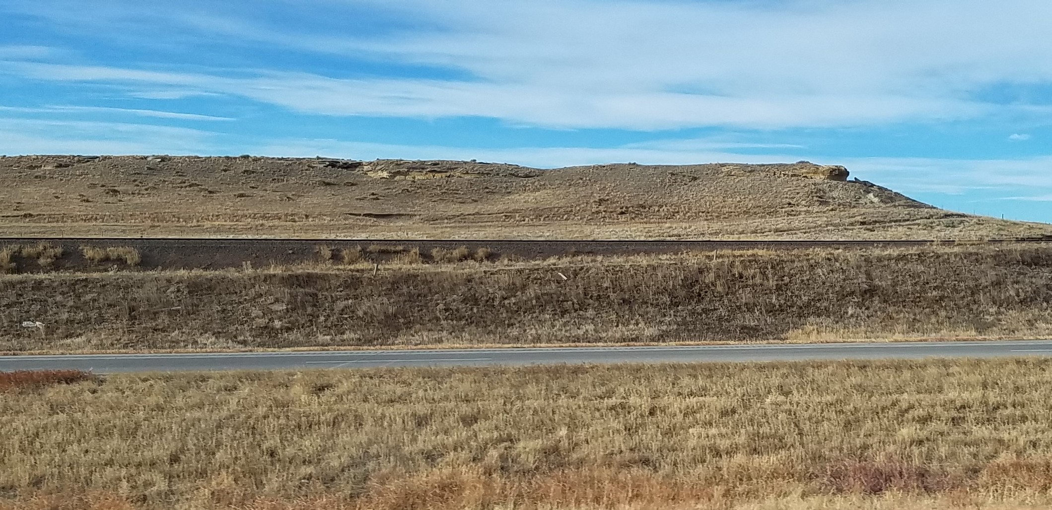
Description: Fox Hills Formation, from the west-bound lane of Interstate 70 in Elbert County, Colorado. The course of the Kansas Pacific Railway, climbing just over 10 miles west of Limon, found this gap in the hogback ridge capped by a resistant sandstone bed of the Fox Hills. Camera location 39° 20′ 31.72″ N, 103° 50′ 43.43″ W View this and other nearby images on: OpenStreetMap 39.342145; -103.845397
Title: Fox Hills Formation 01
Credit: Own work
Author: IveGoneAway
Usage Terms: Creative Commons Attribution-Share Alike 4.0
License: CC BY-SA 4.0
License Link: https://creativecommons.org/licenses/by-sa/4.0
Attribution Required?: Yes
Image usage
The following page links to this image:

All content from Kiddle encyclopedia articles (including the article images and facts) can be freely used under Attribution-ShareAlike license, unless stated otherwise.