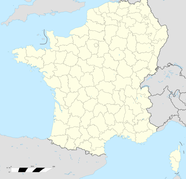
Image: France location map-Departements 1801

Size of this PNG preview of this SVG file: 624 × 600 pixels. Other resolution: 250 × 240 pixels.
Original image (SVG file, nominally 2,000 × 1,922 pixels, file size: 883 KB)
Description: Map of Departments of France in 1801.
Title: France location map-Departements 1801
Credit: France location map-Departements 1800.svg by Flappiefh under licence CC-BY-SA 4.0. Carte des routes d'étapes de la République Française, dressée au Dépôt général de la guerre en l'an IX (1801), revue et corrigée d'après les changements qui ont eu lieu depuis cette époque en 1808, Bibliothèque Nationale de France.
Author: Flappiefh
Usage Terms: Creative Commons Attribution-Share Alike 4.0
License: CC BY-SA 4.0
License Link: https://creativecommons.org/licenses/by-sa/4.0
Attribution Required?: Yes
Image usage
The following page links to this image:

All content from Kiddle encyclopedia articles (including the article images and facts) can be freely used under Attribution-ShareAlike license, unless stated otherwise.
