
Image: Fury and Hecla Strait
Size of this preview: 800 × 305 pixels. Other resolutions: 320 × 122 pixels | 1,598 × 609 pixels.
Original image (1,598 × 609 pixels, file size: 148 KB, MIME type: image/jpeg)
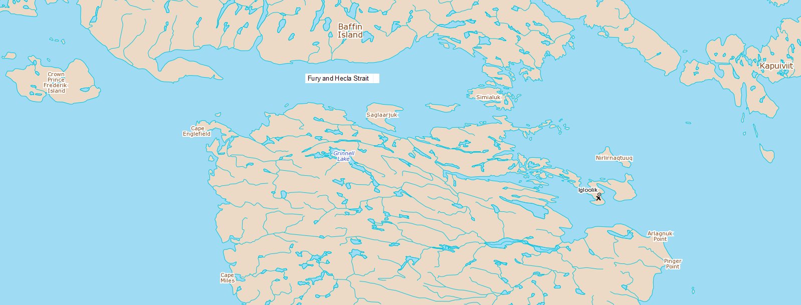
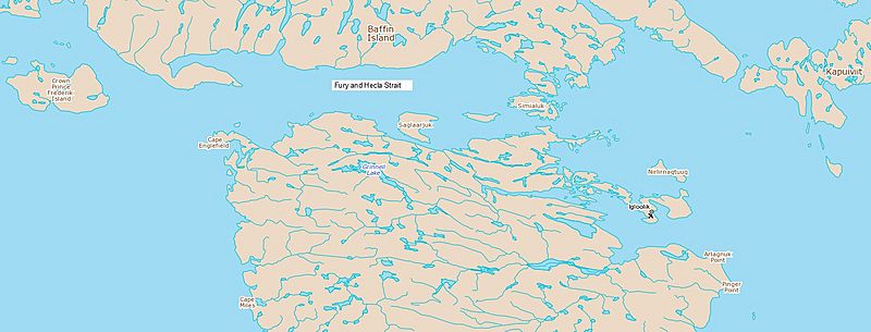
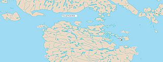
Description: Map showing Fury and Hecla Strait, Nunavut, Canada with Igloolik to the east.
Title: Fury and Hecla Strait
Credit: http://geoappext.nrcan.gc.ca/arcgis/rest/directories/arcgisjobs/utilities/printingtools_gpserver/j4358786066ff41a298c74ecfb09f58cd/scratch/75fd22789b4c4c64a813cf057a63d3d4.jpg
Author: Natural Resources Canada
Usage Terms: Open Government Licence – Canada 2.0
License: OGL-C 2.0
License Link: http://open.canada.ca/en/open-government-licence-canada
Attribution Required?: Yes
Image usage
The following page links to this image:

All content from Kiddle encyclopedia articles (including the article images and facts) can be freely used under Attribution-ShareAlike license, unless stated otherwise.