
Image: Geography of Afghanistan
Size of this preview: 800 × 539 pixels. Other resolutions: 320 × 216 pixels | 1,024 × 690 pixels.
Original image (1,024 × 690 pixels, file size: 428 KB, MIME type: image/jpeg)
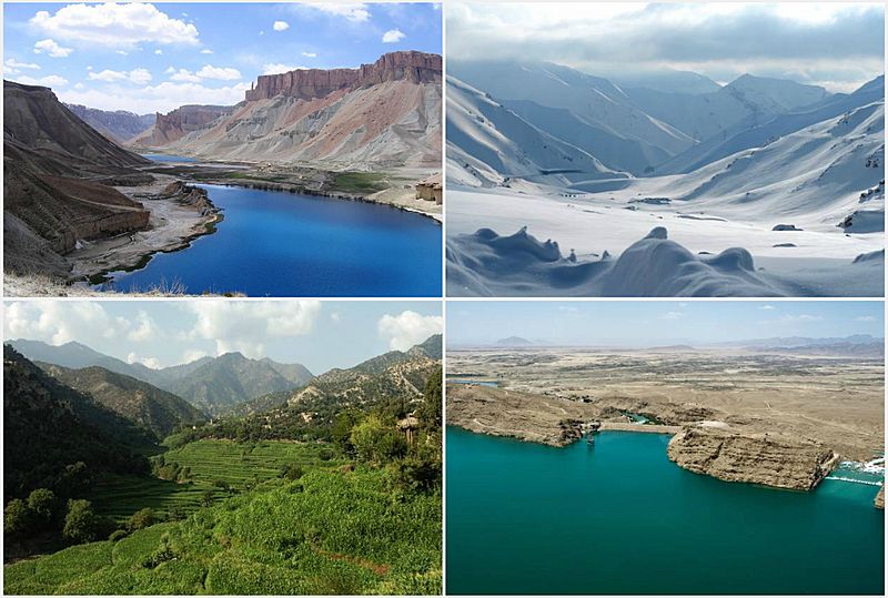
Description: Afghanistan collage, from left to right: 1. Band-e Amir National Park in Bamyan province, 2. The Salang Pass in Parwan province, 3. Korengal Valley in Kunar province, 4. Kajaki Dam in Helmand province.
Title: Geography of Afghanistan
Credit: United States Federal Government: File:Afghanistan's Grand Canyon.jpg (PD-USGov-USAID) File:Snow covered mountains outside of Salang tunnel in Afghanistan.jpg (PD-USGov-Military-Army) File:Korengal Valley-2009.jpg (PD-USGov-Military-Army) File:Kajaki Dam and spillway in 2012.jpg (PD-USGov-Military-Army-USACE)
Author: Officer
Usage Terms: Public domain
License: Public domain
Attribution Required?: No
Image usage
There are no pages that link to this image.

All content from Kiddle encyclopedia articles (including the article images and facts) can be freely used under Attribution-ShareAlike license, unless stated otherwise.