
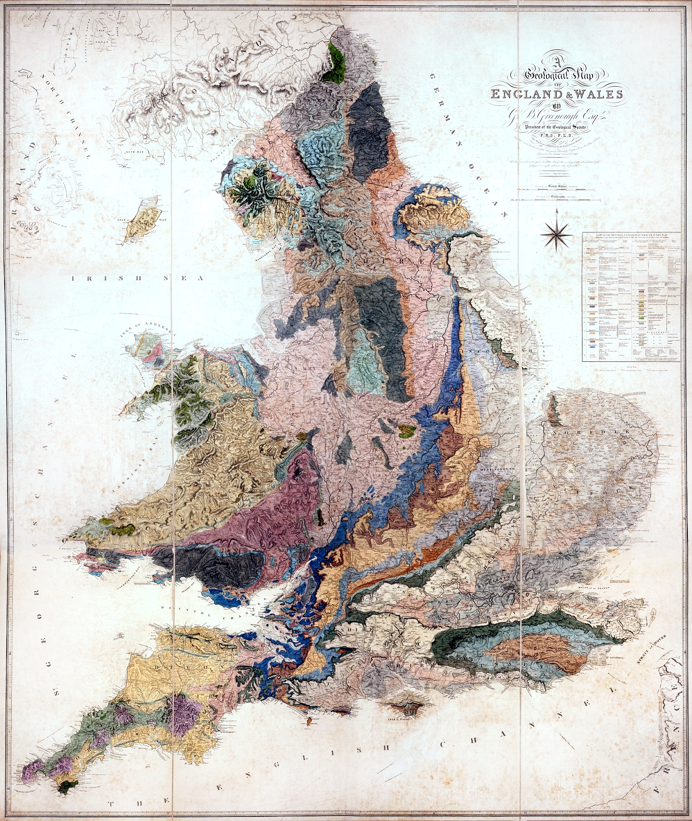
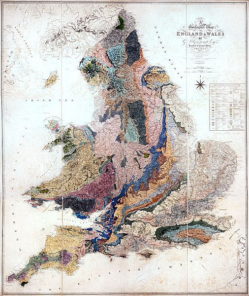
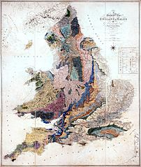
Image: Geological Map of England and Wales by Greenough, 1820
Size of this preview: 506 × 600 pixels. Other resolutions: 202 × 240 pixels | 1,350 × 1,600 pixels.
Original image (1,350 × 1,600 pixels, file size: 2.22 MB, MIME type: image/jpeg)
Description: Geological Map of England and Wales, dated as 1st November 1819 on the map, published 1st May, 1820.
Title: Geological Map of England and Wales by Greenough, 1820
Credit: published by the Geological Society
Author: D. Hawley
Usage Terms: Public domain
License: Public domain
Attribution Required?: No
Image usage
The following page links to this image:

All content from Kiddle encyclopedia articles (including the article images and facts) can be freely used under Attribution-ShareAlike license, unless stated otherwise.