
Image: George Town Aerial view
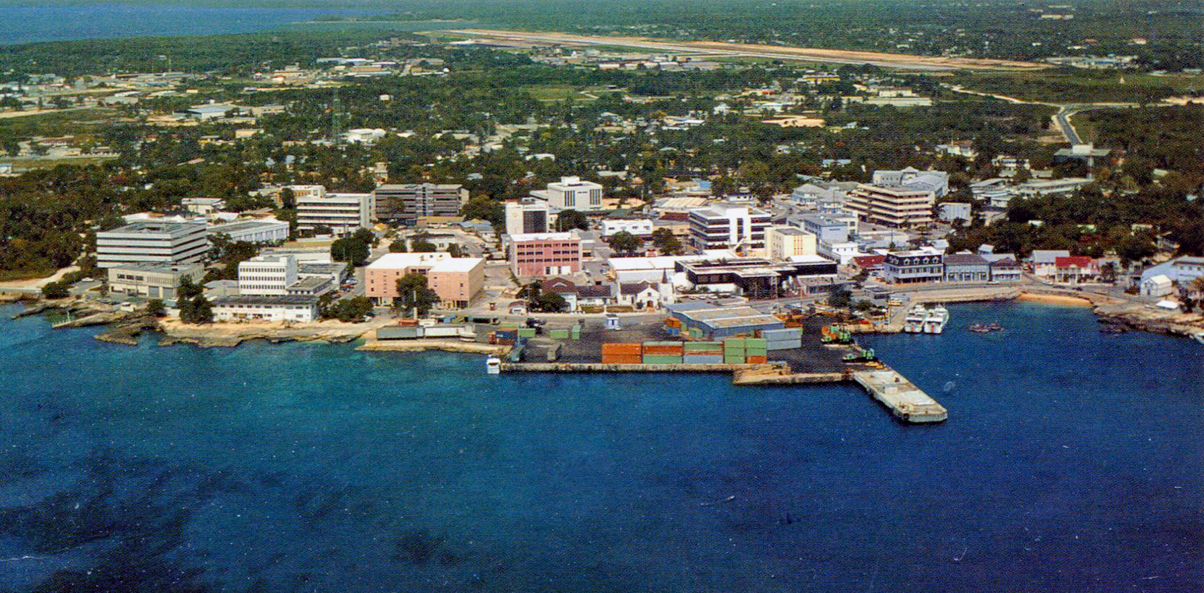
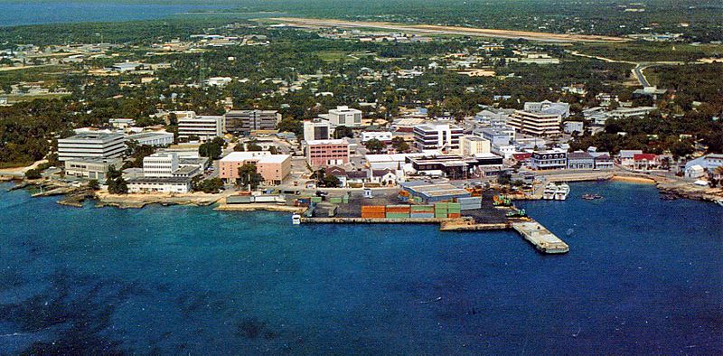
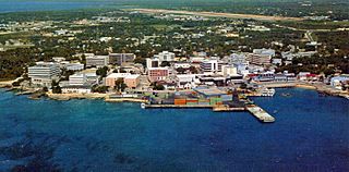
Description: A postcard air view of George Town, Cayman Islands, showing the entire downtown area in 1996. Cruise ships anchored in the harbor. Passengers went ashore by tender to the small harbor at the far right. There is a group of two-story buildings at the harbor. The one at the far right is the Cayman Islands National Museum. Elmslie United Church is in the center of the photo. It seems to be the most prestigious church, though Cayman Islands is still a British colony and the church is not Anglican. Fort George is in a group of trees on the left side of the photo. It was never attacked. The old center of town is Heroes Square, behind the low orange building. The Assembly (parliament) building, 1919 Peace Memorial, Clock Tower, and Library are around the square. I walked across the island, which was less than 2 miles (3 km). I began my walk in Shedden Road, and went by the large buildings with strong horizontal lines, above the harbor. I probably went theough the residential area at the upper left, and reached North Sound, off the photo to the left. Owen Roberts Airport (GCM) is in the background. The Caribbean Sea is in the foreground - and background.
Title: George Town Aerial view
Credit: Grand Cayman - George Town from Air (Postcard) Uploaded by AnonyLog
Author: Roger Wollstadt from Sarasota, Florida
Usage Terms: Creative Commons Attribution-Share Alike 2.0
License: CC BY-SA 2.0
License Link: http://creativecommons.org/licenses/by-sa/2.0
Attribution Required?: Yes
Image usage
The following page links to this image:
