
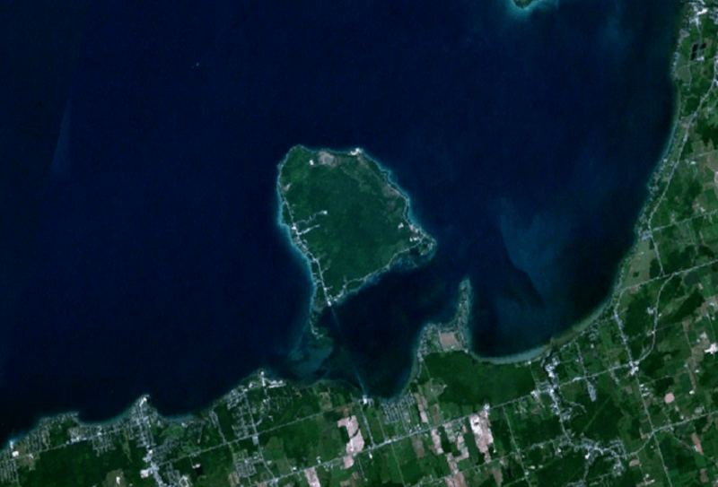
Image: Georgina Island Landsat 7

Size of this preview: 800 × 543 pixels. Other resolutions: 320 × 217 pixels | 1,022 × 694 pixels.
Original image (1,022 × 694 pixels, file size: 375 KB, MIME type: image/png)
Description: Landsat 7 image showing Georgina Island.
Title: Georgina Island Landsat 7
Credit: Created with NASA WorldWind by User:Oaktree_b using Landsat 7 (Visible Color) satellite image.
Author: NASA
Permission: Public domainPublic domainfalsefalse This image is in the public domain because it is a screenshot from NASA’s globe software World Wind using a public domain layer, such as Blue Marble, MODIS, Landsat, SRTM, USGS or GLOBE. العربيَّة | English | فارسی | français | עברית | македонски | മലയാളം | Nederlands | русский | 中文(中国大陆) | +/−
Usage Terms: Public domain
License: Public domain
Attribution Required?: No
Image usage
The following page links to this image:

All content from Kiddle encyclopedia articles (including the article images and facts) can be freely used under Attribution-ShareAlike license, unless stated otherwise.