
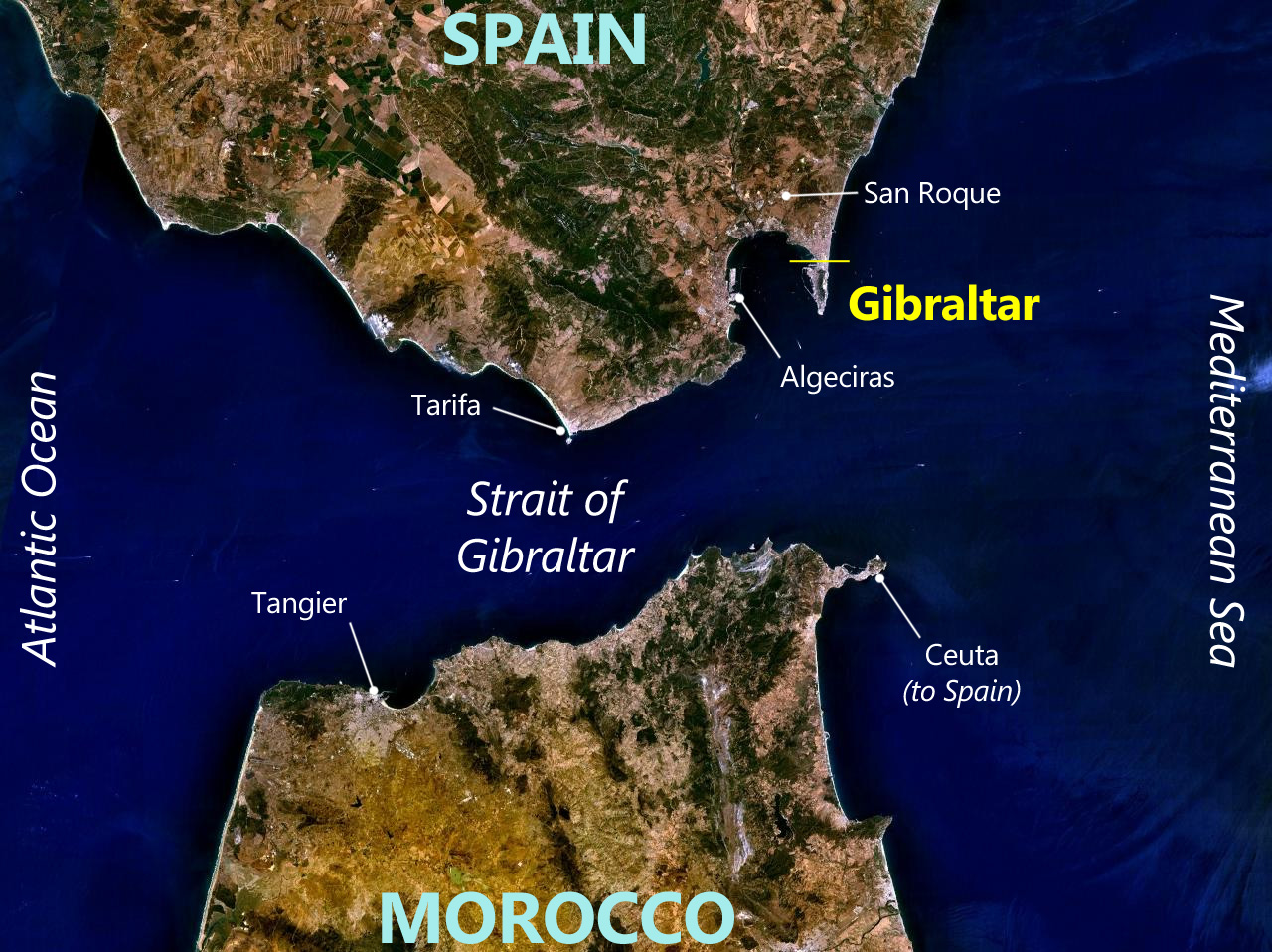
Image: Gibraltar World Wind view annotated
Size of this preview: 800 × 599 pixels. Other resolutions: 320 × 240 pixels | 1,280 × 958 pixels.
Original image (1,280 × 958 pixels, file size: 366 KB, MIME type: image/jpeg)
Description: Annotated satellite map of Gibraltar and surrounding area
Title: Gibraltar World Wind view annotated
Credit: NASA
Author: NASA World Wind (image), Prioryman (annotations)
Usage Terms: Public domain
License: Public domain
Attribution Required?: No
Image usage
The following page links to this image:

All content from Kiddle encyclopedia articles (including the article images and facts) can be freely used under Attribution-ShareAlike license, unless stated otherwise.