
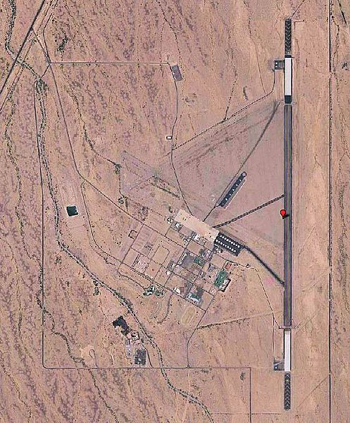
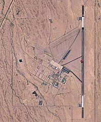
Image: Gila Bend Air Force Auxiliary Field AZ 2006 USGS

Size of this preview: 497 × 600 pixels. Other resolutions: 199 × 240 pixels | 726 × 876 pixels.
Original image (726 × 876 pixels, file size: 198 KB, MIME type: image/jpeg)
Description: USGS digital orthophoto of Gila Bend Air Force Auxiliary Field in Gila Bend, Arizona, United States
Title: Gila Bend Air Force Auxiliary Field AZ 2006 USGS
Credit: USGS via GPS Visualizer website http://www.gpsvisualizer.com/map_input?special=wikipedia&format=google&bg_map=usgs_aerial&sp_width=50km&form:data=type,name,latitude,longitude%0DW,%22Gila%20Bend%20Air%20Force%20Auxiliary%20Field%22,32.8875,-112.72
Author: United States Geological Survey (USGS)
Permission: Public domain
Usage Terms: Public domain
License: Public domain
Attribution Required?: No
Image usage
The following page links to this image:

All content from Kiddle encyclopedia articles (including the article images and facts) can be freely used under Attribution-ShareAlike license, unless stated otherwise.