
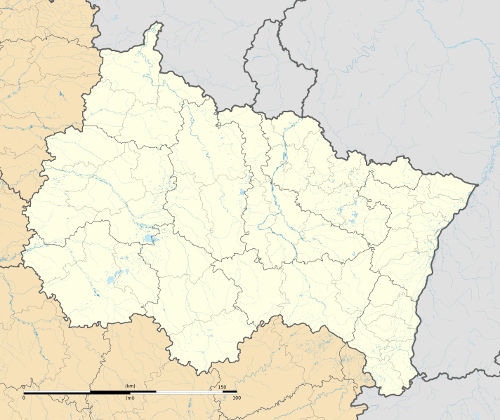
Image: Grand Est region location map

Size of this PNG preview of this SVG file: 712 × 599 pixels. Other resolution: 285 × 240 pixels.
Original image (SVG file, nominally 1,724 × 1,451 pixels, file size: 4.21 MB)
Description: Carte administrative vierge de la région Grand Est, France, destinée à la géolocalisation.
Title: Grand Est region location map
Credit: Own work Sources of data: NASA Shuttle Radar Topography Mission (SRTM3 v.2 & SWBD) (public domain) ; Directive Cadre sur l'Eau; GEOFLA; OpenStreetMap.org (foreign rivers).
Author: Flappiefh
Usage Terms: Creative Commons Attribution-Share Alike 4.0
License: CC BY-SA 4.0
License Link: https://creativecommons.org/licenses/by-sa/4.0
Attribution Required?: Yes
Image usage
The following image is a duplicate of this image (more details):
There are no pages that link to this image.

All content from Kiddle encyclopedia articles (including the article images and facts) can be freely used under Attribution-ShareAlike license, unless stated otherwise.