
Image: Greeley, Salt Lake and Pacific Railroad-Stout Branch
Size of this preview: 800 × 533 pixels. Other resolutions: 320 × 213 pixels | 3,504 × 2,336 pixels.
Original image (3,504 × 2,336 pixels, file size: 1.84 MB, MIME type: image/jpeg)
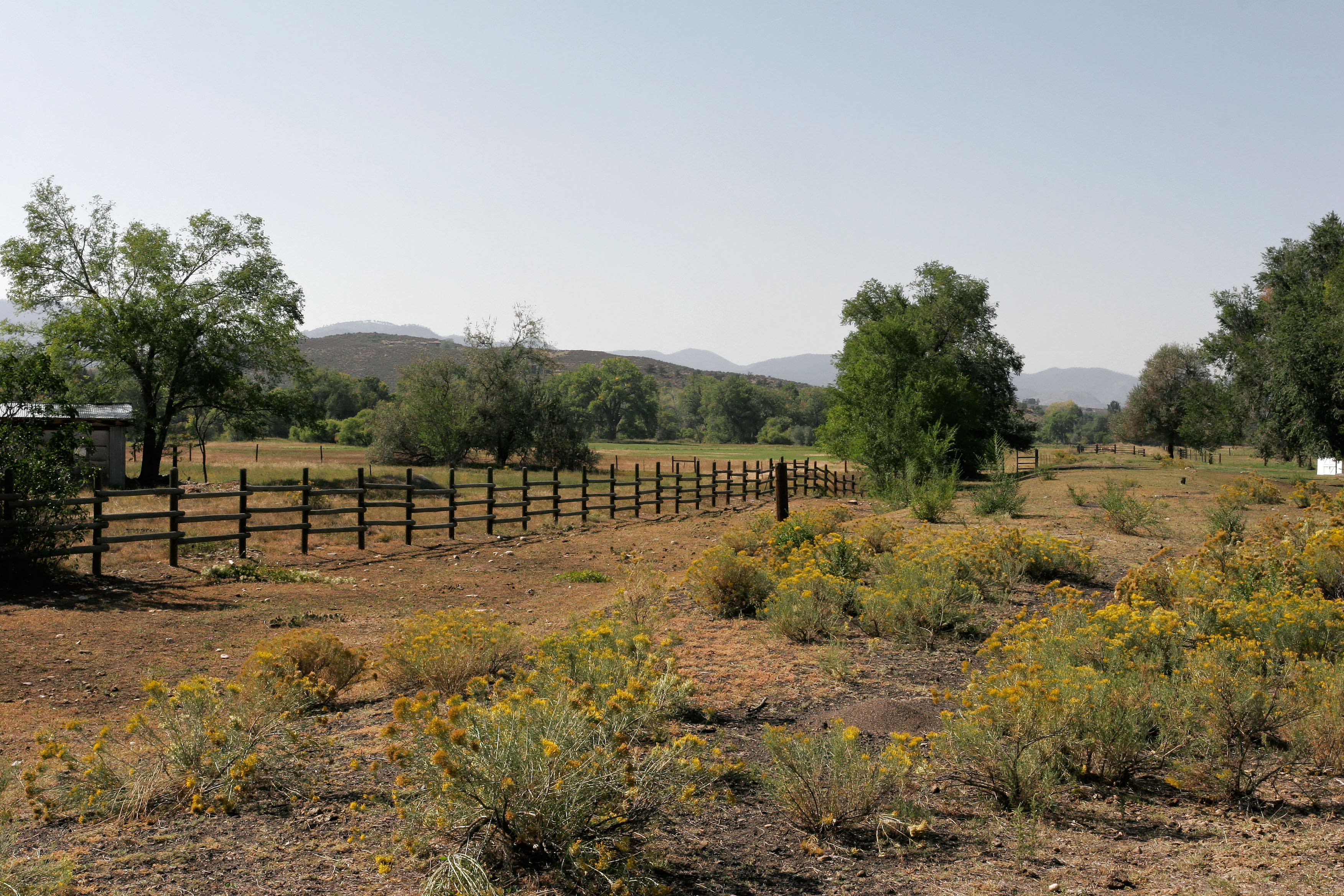
Description: East end of the remaining Greeley, Salt Lake and Pacific Railroad - Stout Branch corridor looking west from North Overland Trail (County Road 21). The edge of the elevated rail bed is visible from the lower left corner of the frame to a gate at horizon on the right quarter. The Provost Homestead-Herring Farm Rural Historic Landscape is also shown in this image.
Title: Greeley, Salt Lake and Pacific Railroad-Stout Branch
Credit: Own work
Author: Chris Whitted
Usage Terms: Creative Commons Attribution-Share Alike 3.0
License: CC BY-SA 3.0
License Link: http://creativecommons.org/licenses/by-sa/3.0
Attribution Required?: Yes
Image usage
The following page links to this image:

All content from Kiddle encyclopedia articles (including the article images and facts) can be freely used under Attribution-ShareAlike license, unless stated otherwise.