
Image: Griffith Park from the air
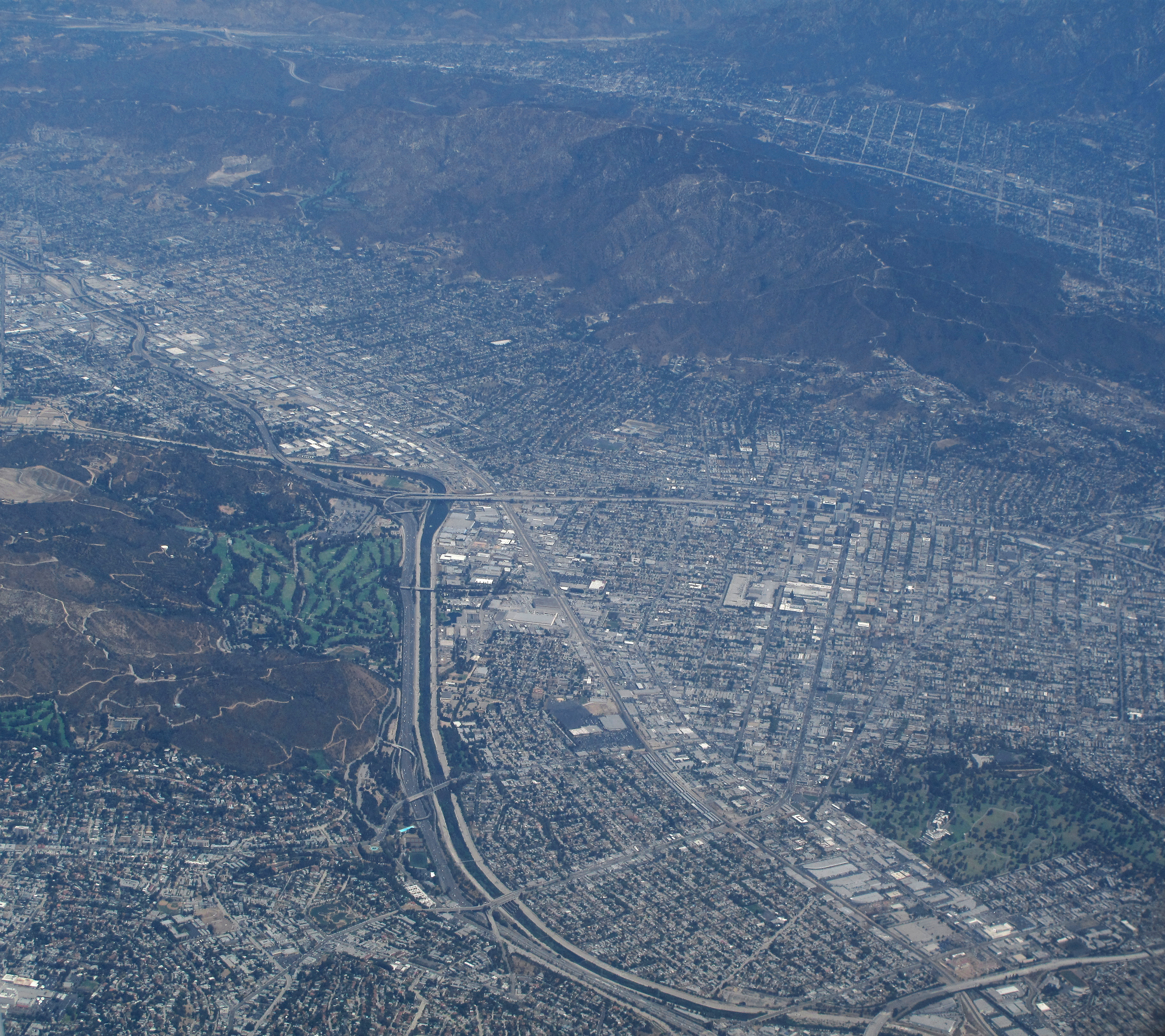
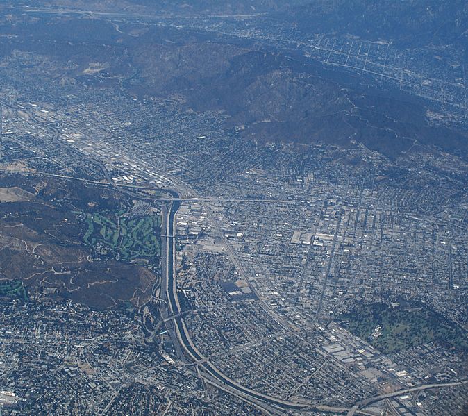
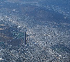
Description: This is an aerial photograph of parts of the cities of Los Angeles, Glendale, and Burbank, California. The top of this image is north. In the lower left quarter of the image, to the left and below the freeways, is the eastern half of Griffith Park. The green area marked with darker green is the Wilson and Harding Golf Courses. The Park extends to the south to just below the small aquamarine rectangular pool. Interstate 5 heads north north-west through the center of the image, next to the Los Angeles River, and becomes fainter in the top half. The freeway running horizontally in the center of the image is California Route 134. The city of Glendale is in the center on the right side. To the northwest is the city of Burbank. The crescent-shaped neighborhood of Los Angeles in the center part of the bottom half is Atwater Village. The neighborood in the bottom left corner is Los Feliz. The west side of the Verdugo Mountains is in the background, and State Route 210 can be seen running northwest along it.
Title: Griffith Park from the air
Credit: Own work
Author: Downtowngal
Usage Terms: Creative Commons Attribution-Share Alike 3.0
License: CC BY-SA 3.0
License Link: https://creativecommons.org/licenses/by-sa/3.0
Attribution Required?: Yes
Image usage
The following page links to this image:
