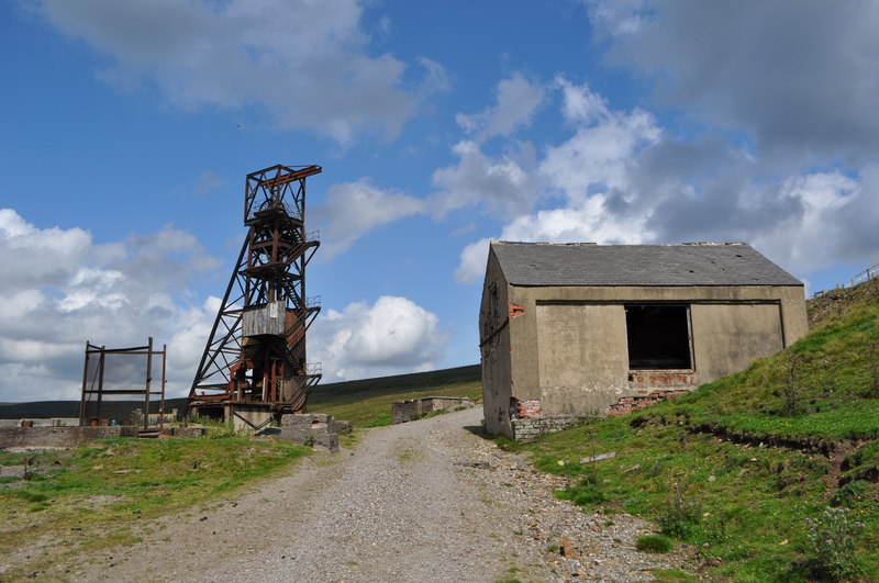
Image: Groverake Lead - Fluorspar Mine - geograph.org.uk - 2531447
Description: Groverake Lead/Fluorspar Mine, Data from Geograph: Description: The site here was first mined for lead, this wasn't highly sucessful. Three veins cross here;Greencleugh, Groverake and Red. The Burtree Pasture vein also continues to this point. Later operations with lead and fluorspar... more ICBM: 54.791769540529, -2.164195458422 Location: 4 km from Allenheads, Northumberland, Great Britain.
Title: Groverake Lead - Fluorspar Mine - geograph.org.uk - 2531447
Credit: From geograph.org.uk; transferred by User:Rubberstamp using geograph_org2commons.
Author: Ashley Dace
Permission: Creative Commons Attribution Share-alike license 2.0
Usage Terms: Creative Commons Attribution-Share Alike 2.0
License: CC BY-SA 2.0
License Link: https://creativecommons.org/licenses/by-sa/2.0
Attribution Required?: Yes
Image usage
The following page links to this image:


