
Image: Hadrian's Wall - Tyne and Wear Metro style
Size of this preview: 800 × 600 pixels. Other resolutions: 320 × 240 pixels | 1,600 × 1,200 pixels.
Original image (1,600 × 1,200 pixels, file size: 841 KB, MIME type: image/jpeg)
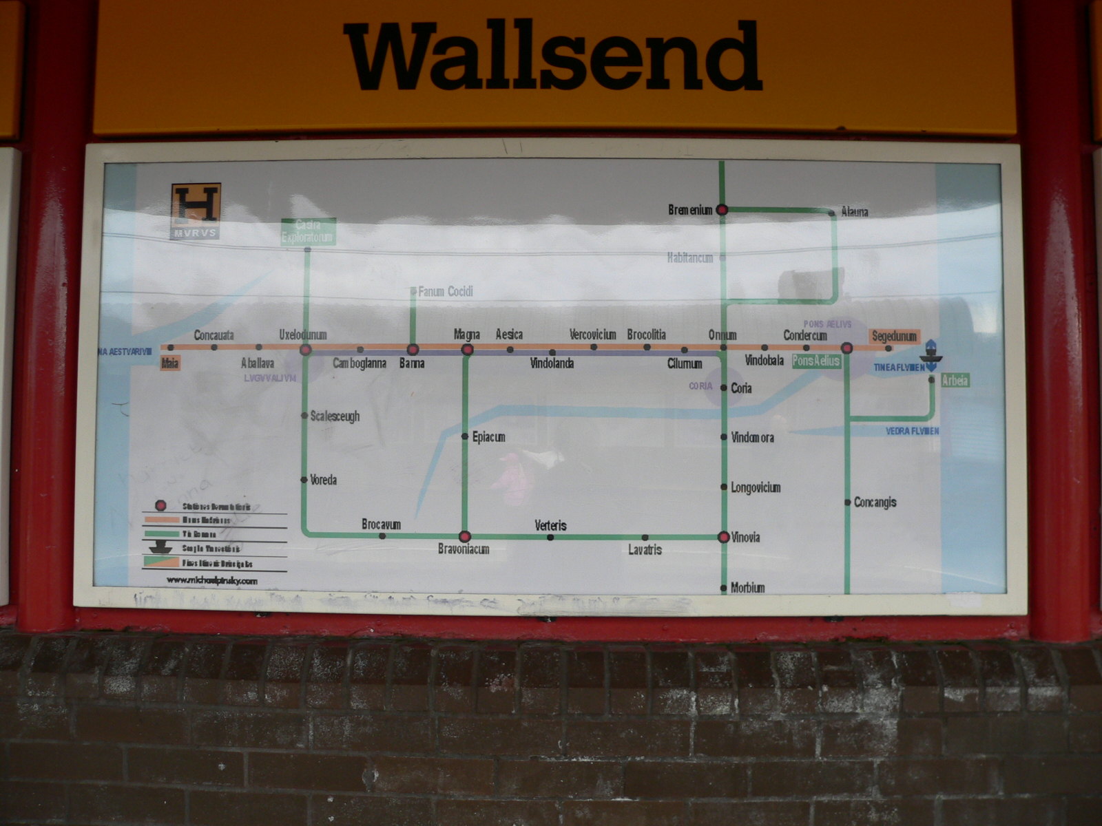
Description: At Wallsend Tyne and Wear Metro station many of the station signs have been translated into Latin to reflect the proximity of the station to Segedunum Roman Fort at the eastern end of Hadrian's Wall. This is a plan of the Roman roads and forts around Hadrian's Wall in the style of the Metro map.
Title: Hadrian's Wall - Tyne and Wear Metro style
Credit: Own work
Author: Chris McKenna (Thryduulf)
Usage Terms: Creative Commons Attribution-Share Alike 4.0
License: CC BY-SA 4.0
License Link: https://creativecommons.org/licenses/by-sa/4.0
Attribution Required?: Yes
Image usage
The following page links to this image:

All content from Kiddle encyclopedia articles (including the article images and facts) can be freely used under Attribution-ShareAlike license, unless stated otherwise.