
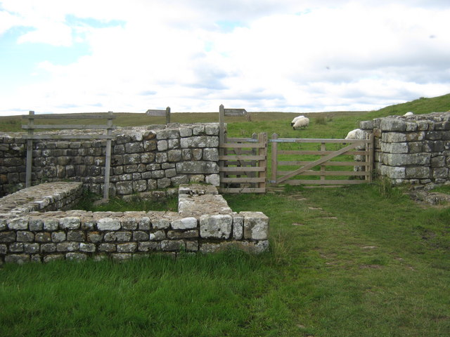
Image: Hadrian's Wall at the Knag Burn northeast of Housesteads Fort - geograph.org.uk - 1495123
No higher resolution available.
Hadrian's_Wall_at_the_Knag_Burn_northeast_of_Housesteads_Fort_-_geograph.org.uk_-_1495123.jpg (640 × 480 pixels, file size: 75 KB, MIME type: image/jpeg)
Description: Hadrian's Wall at the Knag Burn northeast of Housesteads Fort
Title: Hadrian's Wall at the Knag Burn northeast of Housesteads Fort - geograph.org.uk - 1495123
Credit: From geograph.org.uk
Author: peter robinson
Usage Terms: Creative Commons Attribution-Share Alike 2.0
License: CC BY-SA 2.0
License Link: https://creativecommons.org/licenses/by-sa/2.0
Attribution Required?: Yes
Image usage
The following page links to this image:

All content from Kiddle encyclopedia articles (including the article images and facts) can be freely used under Attribution-ShareAlike license, unless stated otherwise.