
Image: Hampton Down Stone Circle Plan
Size of this preview: 765 × 600 pixels. Other resolutions: 306 × 240 pixels | 1,517 × 1,189 pixels.
Original image (1,517 × 1,189 pixels, file size: 114 KB, MIME type: image/jpeg)
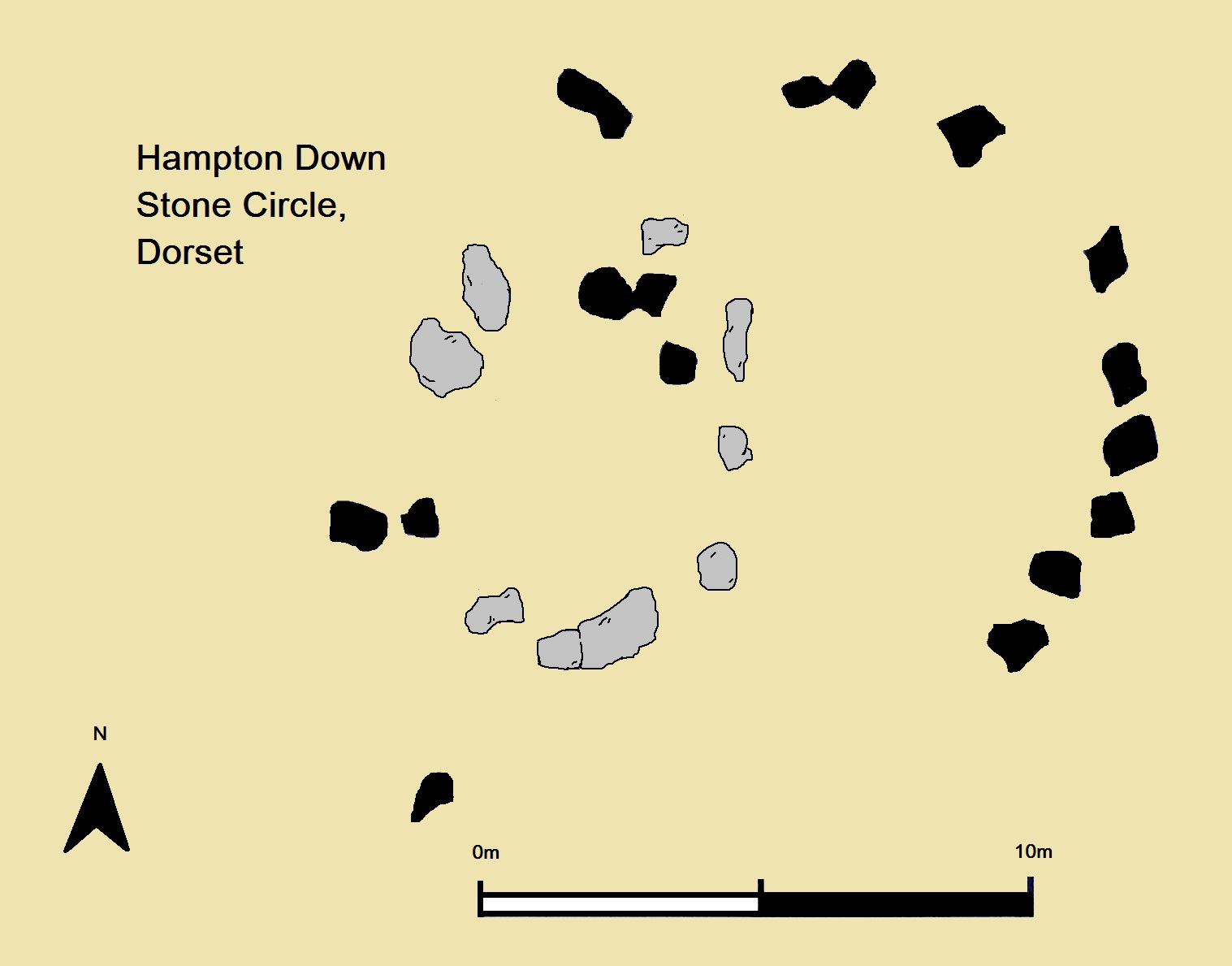
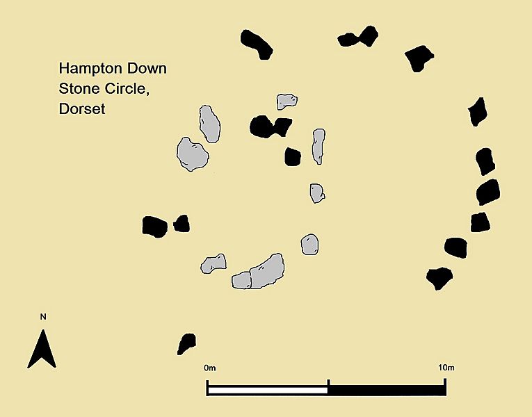
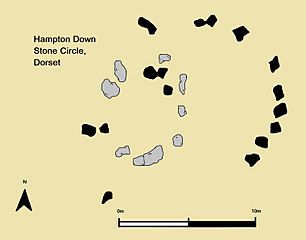
Description: A simple plan of the Bronze Age Hampton Down Stone Circle in Dorset, England. Created by uploader based upon example by Gale 2003, p. 73. The black stones are those located at the site pre-1960, the grey stones are the position of the original circle, as ascertained through excavation.
Title: Hampton Down Stone Circle Plan
Credit: Own work
Author: Midnightblueowl (talk) (Uploads) (after Gale 2003)
Usage Terms: Creative Commons Attribution-ShareAlike 4.0
License: CC-BY-SA-4.0
License Link: https://creativecommons.org/licenses/by-sa/4.0/
Attribution Required?: Yes
Image usage
The following page links to this image:

All content from Kiddle encyclopedia articles (including the article images and facts) can be freely used under Attribution-ShareAlike license, unless stated otherwise.