
All content from Kiddle encyclopedia articles (including the article images and facts) can be freely used under Attribution-ShareAlike license, unless stated otherwise.
 |
|
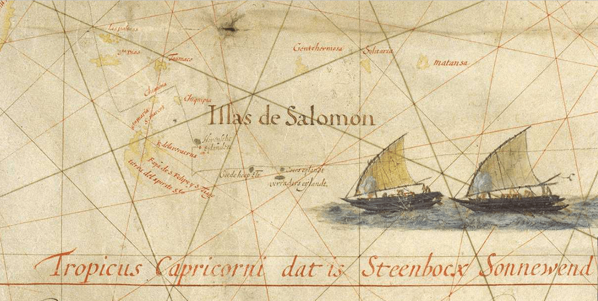
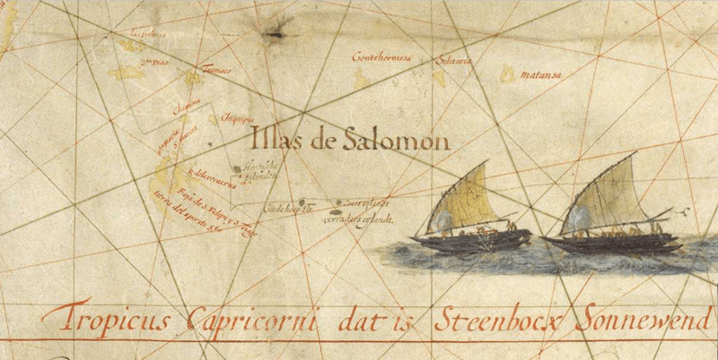
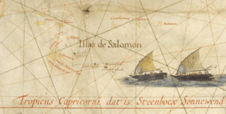
Description: Close-up of the 1622 Map of the Pacific by Hessel Gerritsz showing the 'Solomon Islands' (Illas Salomon) as well as 5 islands discovered by Jacob le Maire and Willem Schouten in 1616: Hornsche Eylanden : Hoorn islands, Futuna et Alofi Goede hoop Elt [Eylandt] :Good Hope island, Niuafo'ou (Tonga) Cocos Eylandt : Cocos Island, Tafahi (Tonga) verraders eylandt : traitors island, Niuatoputapu (Tonga). It is one of the earliest maps where those island are drawn.
Title: Hessel Gerritsz 1622 map of the Pacific - closeup 'Illas de Salomon'
Credit: http://expositions.bnf.fr/marine/grand/por_142.htm
Author: Hessel Gerritsz
Usage Terms: Public domain
License: Public domain
Attribution Required?: No
The following page links to this image: