
Image: Historical map of Baku (cropped)
Size of this preview: 800 × 548 pixels. Other resolutions: 320 × 219 pixels | 7,859 × 5,379 pixels.
Original image (7,859 × 5,379 pixels, file size: 2.69 MB, MIME type: image/jpeg)
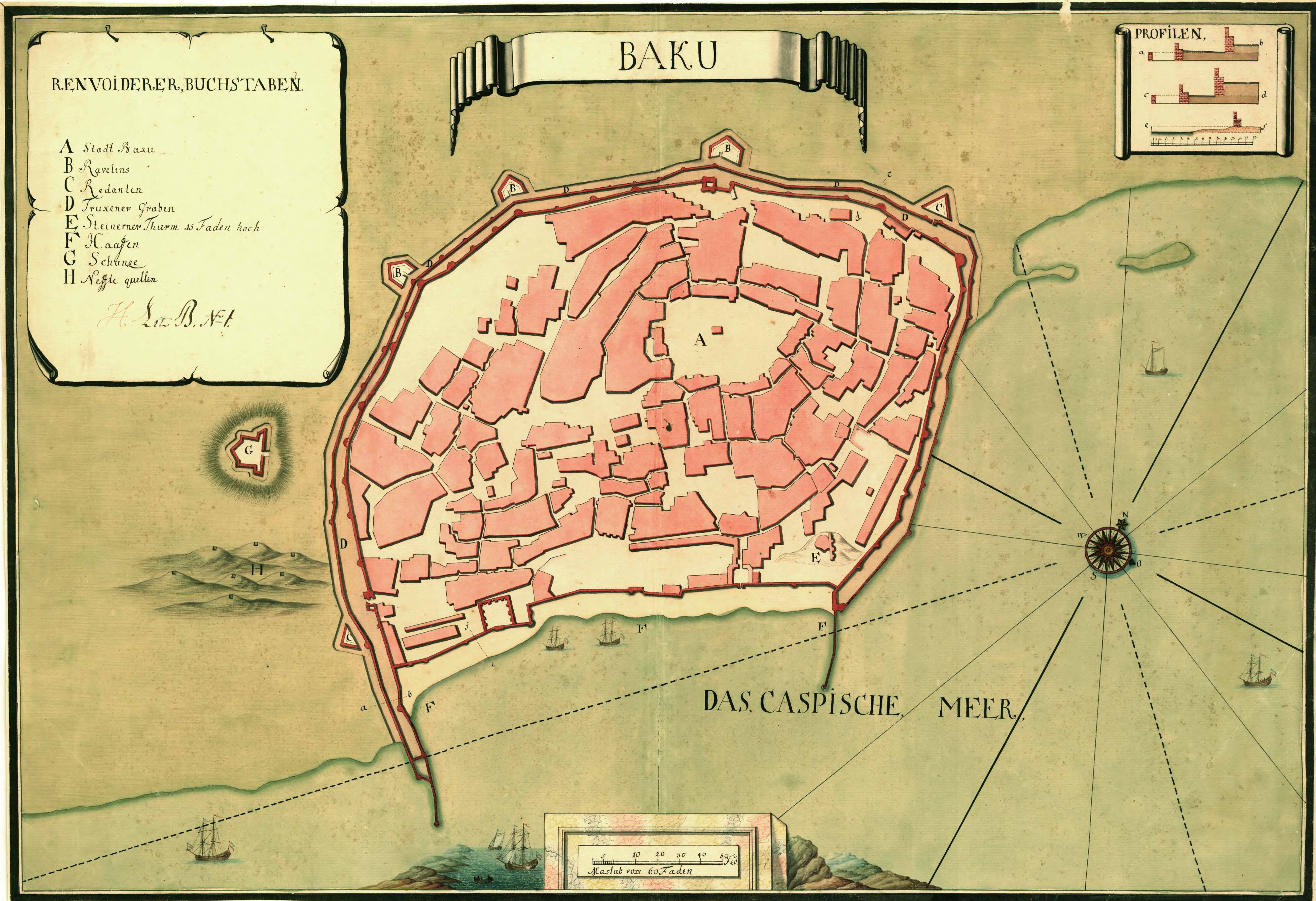
Description: Map of Baku. The map was likely created during the Russian occupation of Baku 1723-1735.
Title: Historical map of Baku (cropped)
Credit: National Archives of Sweden
Author: Unknown
Permission: This file was provided to Wikimedia Commons by the National Archives of Sweden as part of a cooperation project with Wikimedia Sverige.
Usage Terms: Public domain
License: Public domain
Attribution Required?: No
Image usage
The following page links to this image:

All content from Kiddle encyclopedia articles (including the article images and facts) can be freely used under Attribution-ShareAlike license, unless stated otherwise.
.jpg)