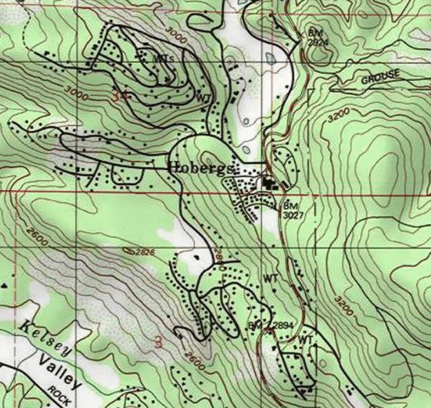
Image: Hobergs, Lake County, CA USGS topo map
Hobergs,_Lake_County,_CA_USGS_topo_map.png (626 × 593 pixels, file size: 313 KB, MIME type: image/png)
Description: Hobergs, Lake County, California, on State Hwy 175 north of Pine Grove and Cobb.. Vertical dashed line to the east is the boundary of Boggs Mountain Demonstration State Forest
Title: Hobergs, Lake County, CA USGS topo map
Credit: https://geonames.usgs.gov/apex/gazvector.getesrimap?p_lat=39.1462689&p_longi=-123.2104532&fid=2412125
Author: USGS
Usage Terms: Public domain
License: Public domain
Attribution Required?: No
Image usage
The following page links to this image:

All content from Kiddle encyclopedia articles (including the article images and facts) can be freely used under Attribution-ShareAlike license, unless stated otherwise.

