
Image: Hyderabad OpenStreetMap

Size of this PNG preview of this SVG file: 800 × 557 pixels. Other resolution: 320 × 223 pixels.
Original image (SVG file, nominally 868 × 604 pixels, file size: 11.77 MB)
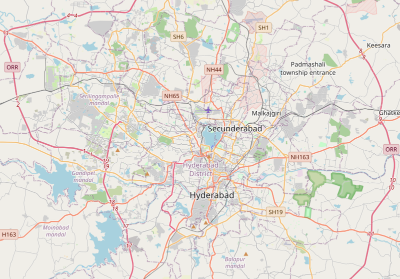
Description: Map of Hyderabad Geographic limits of the map: N: 17.576° S: 17.2680° W: 78.2288° E: 78.6903°
Title: Hyderabad OpenStreetMap
Credit: http://www.openstreetmap.org
Author: OpenStreetMap contributors
Permission: Cartography is licensed as CC-BY-SA (http://www.openstreetmap.org/copyright)
Usage Terms: Creative Commons Attribution-Share Alike 2.0
License: CC BY-SA 2.0
License Link: https://creativecommons.org/licenses/by-sa/2.0
Attribution Required?: Yes
Image usage
The following page links to this image:

All content from Kiddle encyclopedia articles (including the article images and facts) can be freely used under Attribution-ShareAlike license, unless stated otherwise.