
Image: I-110 at I-105 aerial
Size of this preview: 374 × 599 pixels. Other resolutions: 150 × 240 pixels | 1,355 × 2,171 pixels.
Original image (1,355 × 2,171 pixels, file size: 772 KB, MIME type: image/jpeg)
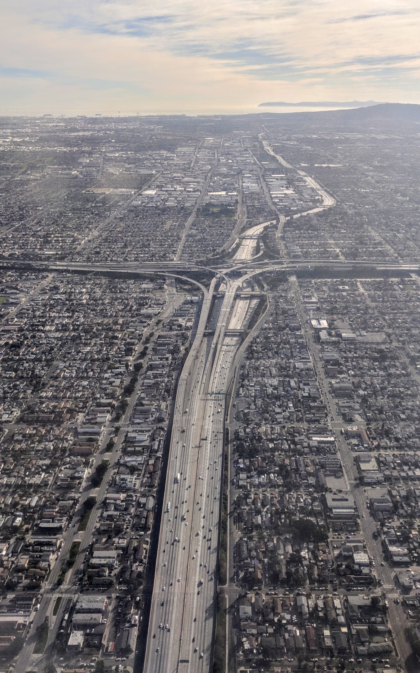
Description: Aerial view from the north of the Harbor Freeway, Interstate 110, and its interchange with the Century Freeway, Interstate 105, on approach to Los Angeles International Airport. The Palos Verdes Peninsula and Santa Catalina Island are visible in the distance.
Title: I-110 at I-105 aerial
Credit: Own work
Author: Dicklyon
Usage Terms: Creative Commons Attribution-Share Alike 4.0
License: CC BY-SA 4.0
License Link: https://creativecommons.org/licenses/by-sa/4.0
Attribution Required?: Yes
Image usage
The following page links to this image:

All content from Kiddle encyclopedia articles (including the article images and facts) can be freely used under Attribution-ShareAlike license, unless stated otherwise.