
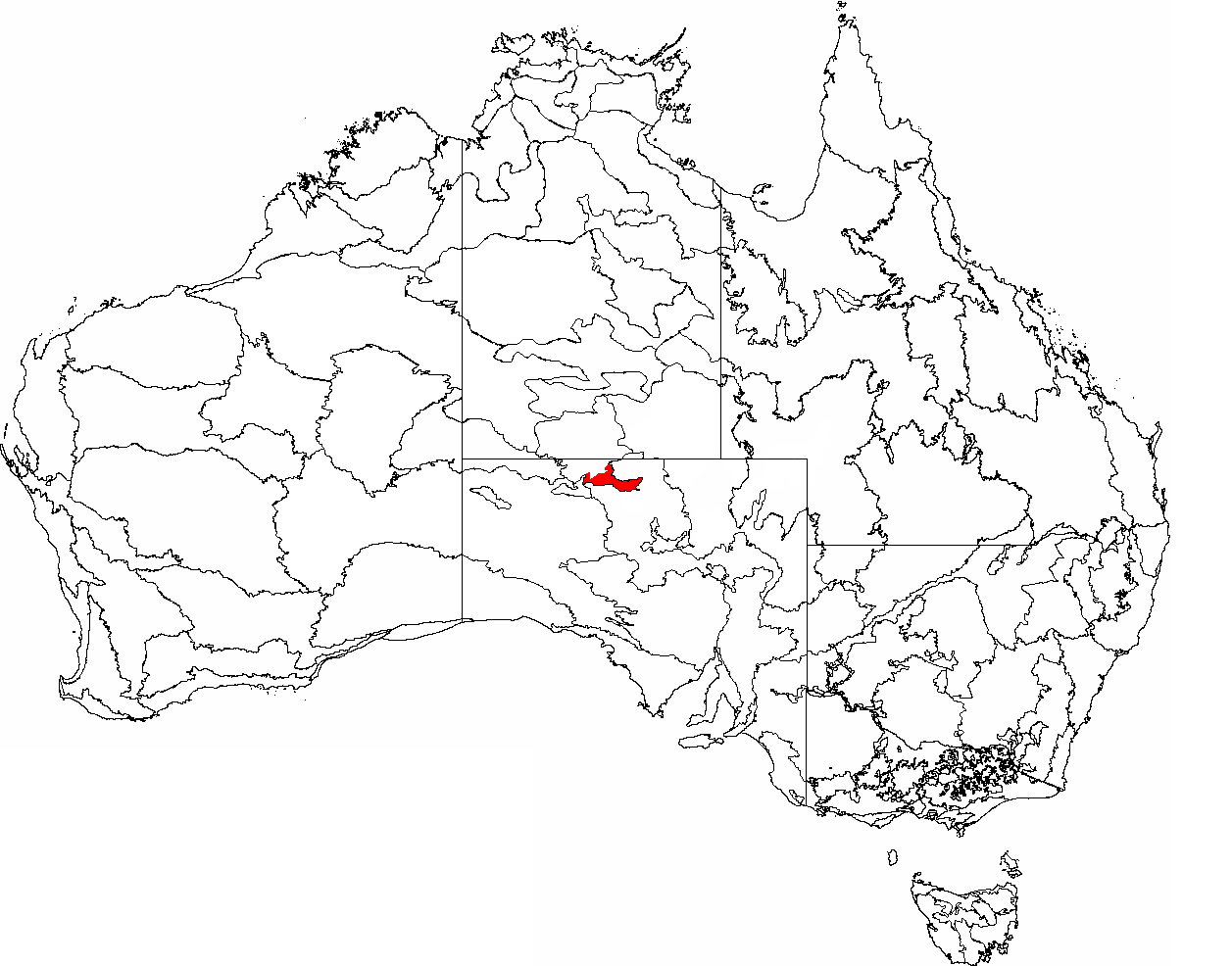
Image: IBRA 6.1 Pedirka Desert
Size of this preview: 764 × 599 pixels. Other resolutions: 306 × 240 pixels | 1,257 × 986 pixels.
Original image (1,257 × 986 pixels, file size: 75 KB, MIME type: image/png)
Description: This is a map of the Interim Biogeographic Regionalisation of Australia (IBRA), with state boundaries overlaid. The Pedirka Desert region is shown in red.
Usage Terms: Public domain
Image usage
The following page links to this image:

All content from Kiddle encyclopedia articles (including the article images and facts) can be freely used under Attribution-ShareAlike license, unless stated otherwise.