
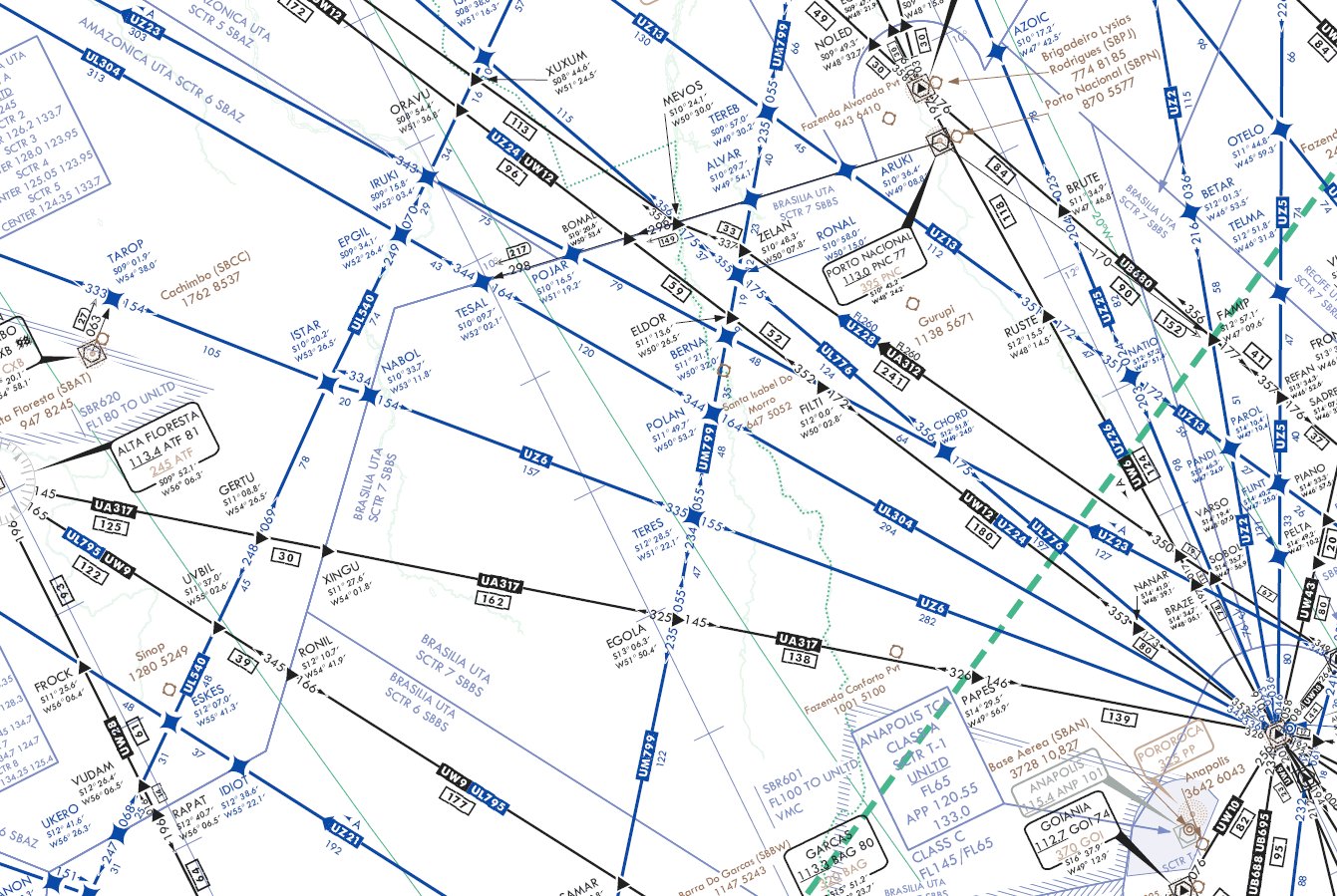
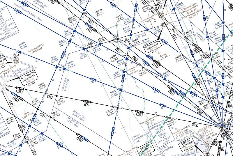
Image: IFR high altitude en route chart section - Teres - UZ6 airway and Cachimbo airbase
Size of this preview: 800 × 536 pixels. Other resolutions: 320 × 215 pixels | 1,341 × 899 pixels.
Original image (1,341 × 899 pixels, file size: 362 KB, MIME type: image/jpeg)
Description: Extract (via PhotoShopPro) from DOD FLIGHT INFORMATION PUBLICATION ENROUTE HIGH ALTITUDE CARIBBEAN AND SOUTH AMERICA.
Title: IFR high altitude en route chart section - Teres - UZ6 airway and Cachimbo airbase
Credit: United States Department of Defense Flight Information Publication H3-H4
Author: United States of America Government (Department of Defence)
Usage Terms: Public domain
License: Public domain
Attribution Required?: No
Image usage
The following page links to this image:

All content from Kiddle encyclopedia articles (including the article images and facts) can be freely used under Attribution-ShareAlike license, unless stated otherwise.