
Image: Irelandmap1500
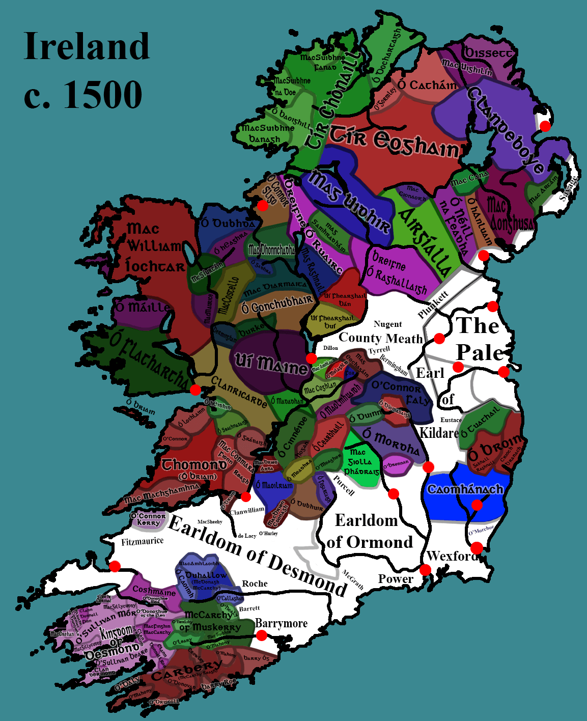
Description: Political map of Ireland circa 1500 showing the approximate territories of the various Gaelic and Anglo-Norman Lordships. Key: Old English (Norman) controlled areas and the Pale are in white and use a different font, whereas Gaelic controlled areas are in various colours. Lighter shade of a colour around a deeper colour can represent a semi-independent kingdom under nominal vassalage of a larger kingdom who they can share kinship ties with. Cities/Important or strategic fortifications are marked with red dots (not comprehensive).
Title: Irelandmap1500
Credit: Own work
Author: Blight55
Usage Terms: Creative Commons Attribution-Share Alike 4.0
License: CC BY-SA 4.0
License Link: https://creativecommons.org/licenses/by-sa/4.0
Attribution Required?: Yes
Image usage
The following page links to this image:
