
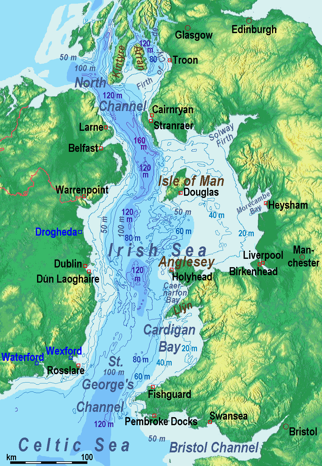
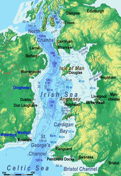
Image: IrishSeaReliefmap
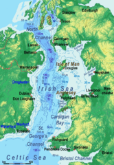
Size of this preview: 415 × 600 pixels. Other resolutions: 166 × 240 pixels | 1,043 × 1,507 pixels.
Original image (1,043 × 1,507 pixels, file size: 535 KB, MIME type: image/png)
Description: Bathysmographic map of the en:Irish Sea. Major ports shown with red marks. freight-only ports in blue.
Title: IrishSeaReliefmap
Credit: Own work, the countures of depth are drawn by myself according to the UK source, the areal colours are derived from the Irish one. The land is from Maps for Free.
Author: Ulamm (talk)
Usage Terms: Creative Commons Attribution-Share Alike 3.0
License: CC BY-SA 3.0
License Link: http://creativecommons.org/licenses/by-sa/3.0
Attribution Required?: Yes
Image usage
The following 3 pages link to this image:

All content from Kiddle encyclopedia articles (including the article images and facts) can be freely used under Attribution-ShareAlike license, unless stated otherwise.