
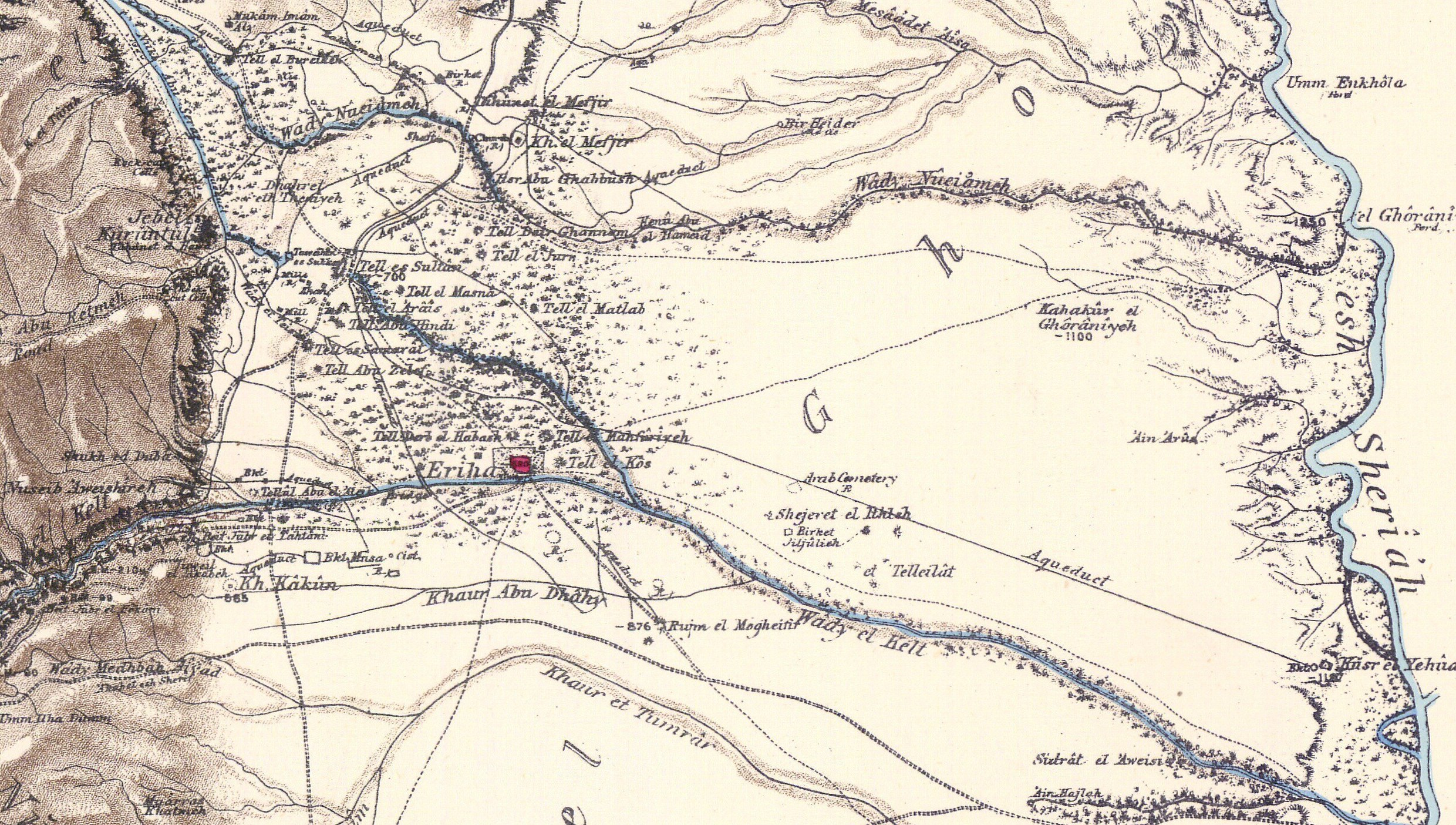
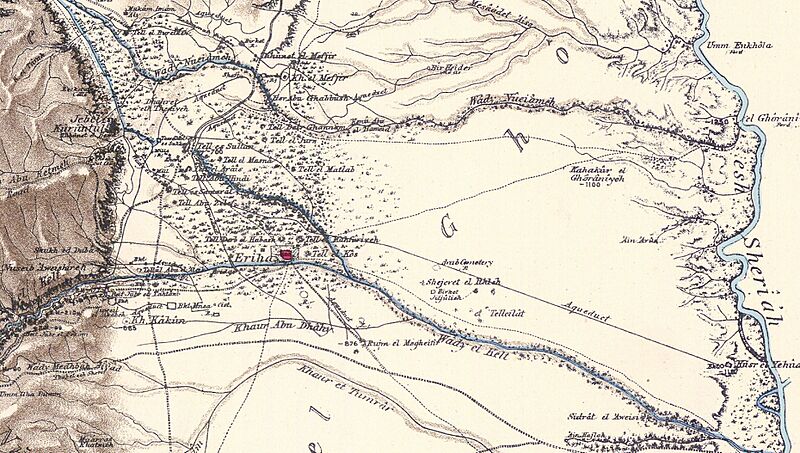
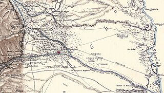
Image: Jericho and Tell es Sultan in the Survey of Western Palestine 1880.18 (cropped)
Description: Map of Western Palestine in 26 sheets from the surveys conducted for the Committee of the en:Palestine Exploration Fund by Lietenanats C.R. Conder and H.H. Kitchener R.E. during the years 1872-1877. Photozincographed and Printed for the Committee ...at the Ordnance Survey Office Southampton. OCLC 234168442. Note I: Marked as copyrighted by Jewish National & University Library, which is not grounded. Note II: This is a collection 72dpi images. For the map in higher resolution, check either David Rumsey Map Collection, Israel Antiquities Authority, The Digital Archaeological Atlas of the Holy Land, Amud Anan (Hebrew), or a CD from BiblePlaces.
Title: Jericho and Tell es Sultan in the Survey of Western Palestine 1880.18 (cropped)
Credit: This image is available from National Library of Israel under the digital ID. 002368494 (002368494)
Usage Terms: Public domain
License: Public domain
Attribution Required?: No
Image usage
The following page links to this image:

.jpg)