
Image: Joaquin boucle
No higher resolution available.
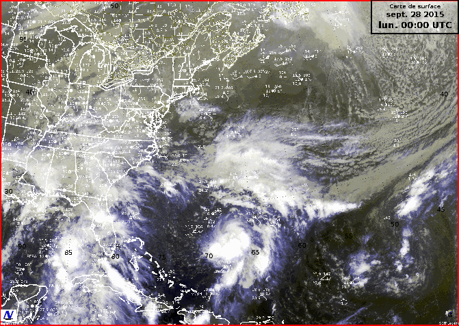
Joaquin_boucle.gif (671 × 476 pixels, file size: 5.86 MB, MIME type: image/gif, looped, 38 frames, 24 s)
Description: Satellite and surface data loop of the hurricane Joaquin from September 28, 00 UTC, to October 7, 15 UTC. Images are a mix of infra-red and visible satellite photos, depending of the time of the day.
Title: Joaquin boucle
Credit: GOES satellite image from NOAA
Author: Own work and NOAA
Usage Terms: Public domain
License: Public domain
Attribution Required?: No
Image usage
The following page links to this image:

All content from Kiddle encyclopedia articles (including the article images and facts) can be freely used under Attribution-ShareAlike license, unless stated otherwise.