
Image: John Pinkerton. Map of Persia. 1818.A
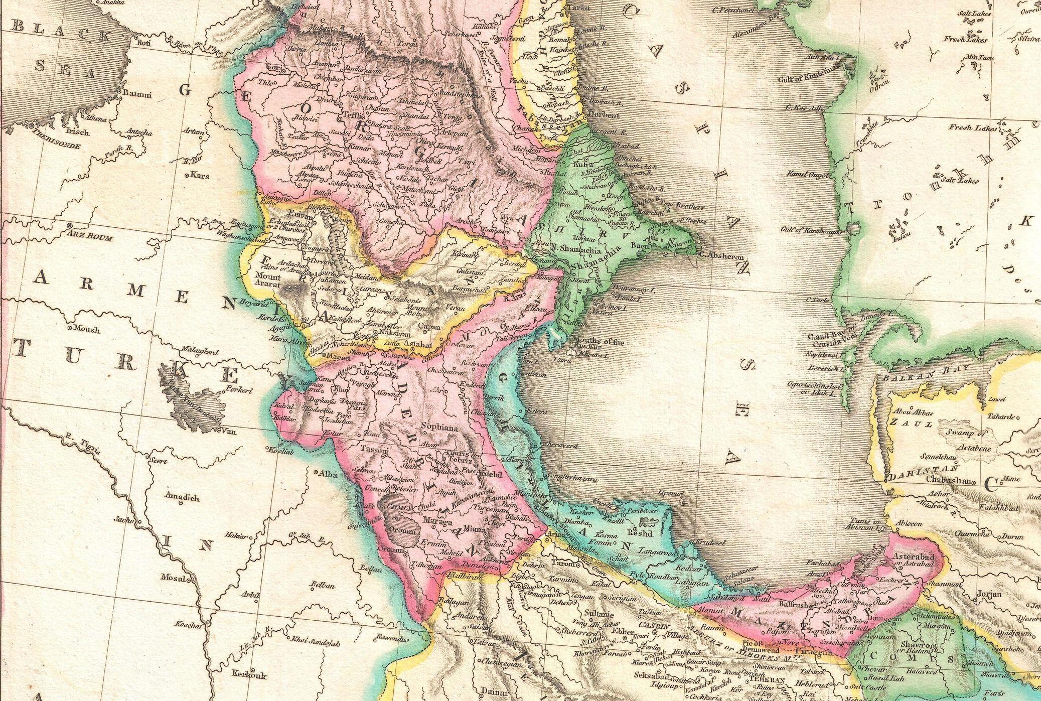
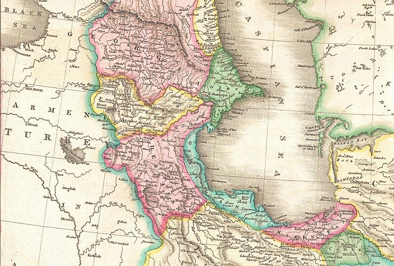
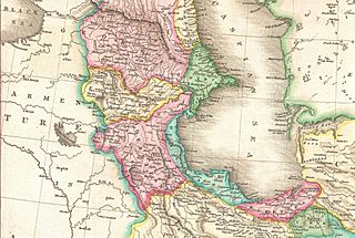
Description: A rare and important 1818 map of Persia by John Pinkerton. Depicts from the Black Sea eastward as far as the Indus Valley, extends north to the Aral Sea and South to the Persian Gulf and the Arabian Sea. Includes the modern day countries of Iran and Afghanistan, as well as parts of adjacent Pakistan, Kuwait, Iraq, Turkey and Arabia. Notes both political and physical geographic elements, including rivers, mountains, under sea dangers, various tribal regions, cities, ruins, and canals. In particular, notes the ruins of both Babylon and Persepolis. Drawn by L. Herbert and engraved by Samuel Neele under the direction of John Pinkerton. The map comes from the scarce American edition of Pinkerton’s Modern Atlas, published by Thomas Dobson & Co. of Philadelphia in 1818.
Title: John Pinkerton. Map of Persia. 1818.A
Credit: → This file has an extracted image: File:1818 Pinkerton Map of Persia ( Iran, Afghanistan ) - Geographicus - Persia2-pinkerton-1818.jpg. Original from: Geographicus link: Persia2-pinkerton-1818 Pinkerton, J., A Modern Atlas, from the Lates and Best Authorities, Exhibiting the Various Divisions of the World with its chief Empires, Kingdoms, and States; in Sixty Maps, carefully reduced from the Larges and Most Authentic Sources. 1818, Philadelphia, Thomas Dobson Edition. This file was provided to Wikimedia Commons by Geographicus Rare Antique Maps, a specialist dealer in rare maps and other cartography of the 15th, 16th, 17th, 18th and 19th centuries, as part of a cooperation project. Deutsch | English | français | македонски | Nederlands | polski | +/−
Author: John Pinkerton
Usage Terms: Public domain
License: Public domain
Attribution Required?: No
Image usage
The following page links to this image:
