
Image: Judaea Roman Province

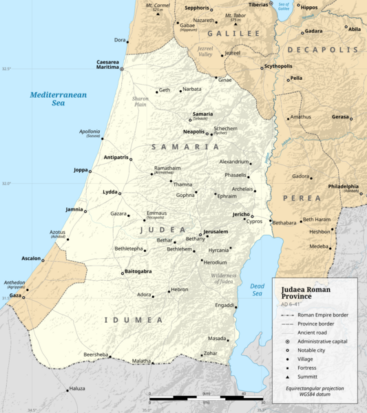
Description: Judaea Roman Province (AD 6–41)
Title: Judaea Roman Province (AD 6–41)
Credit: Own work. This file was derived from: Archelaus Ethnarchy.svg: Sources of data: Coastline, rivers and water bodies: GSHHG. Hillshade: NASA SRTM GL3. WGS 84 location coordinates: Digital Atlas of the Roman Empire. Ancient roads: Ancient World Mapping Center. Borders: Bryce, Trevor (2016) Atlas of the Ancient Near East, New York City: Routledge, p. 267 ISBN: 978-0-415-50800-1. Curtis, Adrian (2007) Oxford Bible Atlas, Oxford: Oxford University Press ISBN: 978‒0‒19‒100158‒1. Gelb, Norman (2013) Herod the Great: Statesman, Visionary, Tyrant, Lanham: Rowman & Littlefield ISBN: 978-1-4422-1065-3. Richardson, Peter (2018) Herod: King of the Jews and Friend of the Romans, New York City: Routledge ISBN: 978-1-138-80392-3. Smith, George Adam (1915) Atlas of the Historical Geography of the Holy Land, London: Hodder & Stoughton, p. 42 ISBN: 978-1-013-58494-7. Wright, Paul H. (2020) Ultimate Bible Atlas, Nashville: Holman Bible Publishers, p. 146−148 ISBN: 978-1-0877-3103-2.
Author: DEGA MD
Usage Terms: Creative Commons Attribution-Share Alike 4.0
License: CC BY-SA 4.0
License Link: https://creativecommons.org/licenses/by-sa/4.0
Attribution Required?: Yes
Image usage
The following page links to this image:
