
Image: Juniperus communis range map
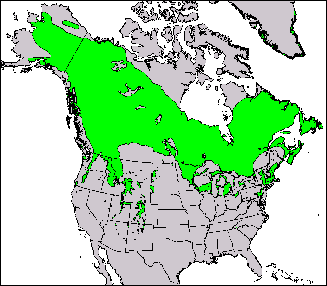
Description: This North American range map of Juniperus communis, the common juniper, was published in a USGS publication: Conifers. Climate-Vegetation Atlas of North America. USGS. Maps and ArcView shapefiles can also be downloaded here: Little, Jr., Elbert L. Atlas. USGS.[dead link]
Title: Juniperus communis range map
Credit: Thompson, Robert S.; Katherine H. Anderson and Patrick J. Bartlein (1999) Atlas of Relations Between Climatic Parameters and Distributions of Important Trees and Shrubs in North America, U.S. Geological Survey (Professional Paper 1650 A&B)
Author: Robert S. Thompson, Katherine H. Anderson, and Patrick J. Bartlein
Permission: This image is in the public domain in the United States because it only contains materials that originally came from the United States Geological Survey, an agency of the United States Department of the Interior. For more information, see the official USGS copyright policy.
Usage Terms: Public domain
License: Public domain
Attribution Required?: No
Image usage
There are no pages that link to this image.
