
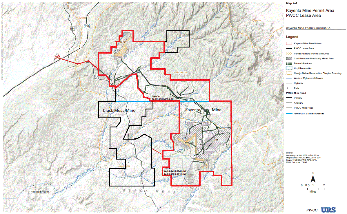
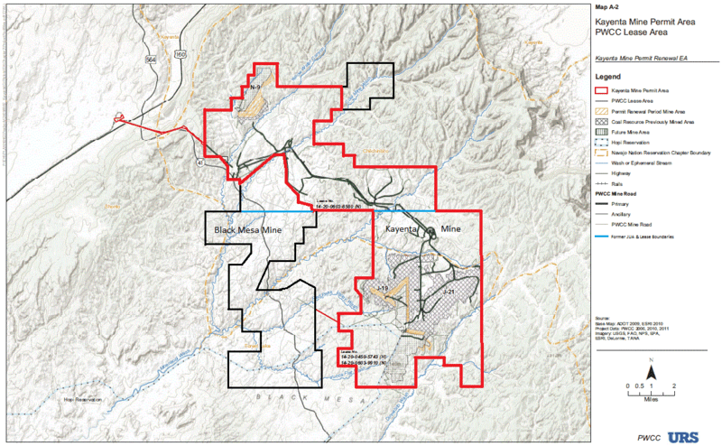
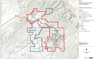
Image: Kayenta mine permit area and PWCC lease areas map
Size of this preview: 800 × 494 pixels. Other resolutions: 320 × 198 pixels | 1,197 × 739 pixels.
Original image (1,197 × 739 pixels, file size: 303 KB, MIME type: image/png)
Description: Map of Black Mesa (partial) — located in Navajo County, northeastern Arizona. With the Kayenta Coal Mine permit area, the former Black Mesa mine boundary, and other areas leased by Peabody Western Coal Company on the mesa.
Title: Kayenta mine permit area and PWCC lease areas map
Credit: http://www.wrcc.osmre.gov/Current_Initiatives/Kayenta_Mine/Renewal/EA-SecA.pdf
Author: URS & Peabody Western Coal Company for US Office of Surface Mining Reclamation and Enforcement
Usage Terms: Public domain
License: Public domain
Attribution Required?: No
Image usage
The following page links to this image:

All content from Kiddle encyclopedia articles (including the article images and facts) can be freely used under Attribution-ShareAlike license, unless stated otherwise.