
Image: Kenay peninsula
Size of this preview: 800 × 454 pixels. Other resolutions: 320 × 182 pixels | 940 × 534 pixels.
Original image (940 × 534 pixels, file size: 393 KB, MIME type: image/png)
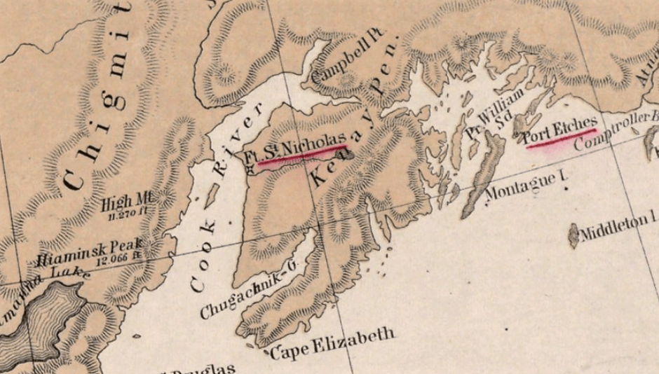
Description: Map of the 'Kenay Peninsular' area in Alaska as depicted in 1867 on the map 'North western America showing the territory ceded by Russia to the United States'
Title: Kenay peninsula
Credit: https://www.digitalcommonwealth.org/search/commonwealth:4m90fb79s
Author: compiled for the Department of State at the U.S. Coast Survey Office, B. Pierce, Supt. ; drawn by A. Lindenkohl.
Usage Terms: Creative Commons Attribution-Share Alike 4.0
License: CC BY-SA 4.0
License Link: https://creativecommons.org/licenses/by-sa/4.0
Attribution Required?: Yes
Image usage
The following page links to this image:

All content from Kiddle encyclopedia articles (including the article images and facts) can be freely used under Attribution-ShareAlike license, unless stated otherwise.